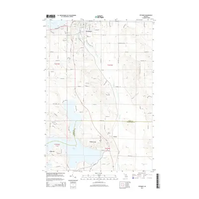
2014 Map of Petoskey
USGS Topo · Published 2014About this map
Petoskey overlooks the southern waters of Little Traverse Bay, serving as a hub where the Bear River winds northward through a landscape shaped by glacial topography. This modern survey captures the city's interface with the surrounding terrain, including the campus of Central Michigan Coll and several long-established burial sites such as Greenwood Cem and Saint Francis Cem.
Find a feature on this map
104 named features on this map. Tap any name to fly to it.
Don’t see what you’re looking for? This feature index may not catch every label — zoom into the map to look around manually.
Map Details
Editions of this 2014 Petoskey Map
This is the sole edition of this map. No revisions or reprints were ever made.
Other maps of this area

1955 · Cheboygan
USGS Topo · 1:250,000

1958 · Cheboygan
USGS Topo · 1:250,000

1958 · Bayshore
USGS Topo · 1:62,500

1958 · Petoskey
USGS Topo · 1:62,500

1961 · Boyne Falls
USGS Topo · 1:62,500

1961 · Boyne City
USGS Topo · 1:62,500

1975 · Petoskey NW
USGS Topo · 1:24,000

1975 · Petoskey SW
USGS Topo · 1:24,000

1975 · Petoskey NE
USGS Topo · 1:24,000

1975 · Boyne City NE
USGS Topo · 1:24,000