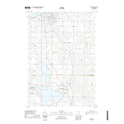
2019 Map of Petoskey
USGS Topo · Published 2019About this map
Petoskey and its southern neighboring communities are situated along the shores of Little Traverse Bay and the sprawling waters of Walloon Lake. This 2019 survey captures the developed street grid of the regional hub, organized around streets like Charlevoix Ave and E Mitchell St, while also documenting the more rural character of the Emmet Co and Charlevoix Co borderlands. The map reveals a landscape defined by significant elevation changes, notably at Lookout Ridge and Irish Hill, which overlook the winding course of the Bear River. Genealogists will find substantial value in the precise locations of numerous local burial sites, including Saint Francis Cem, Greenwood Cem, and Maple Hill Cem near the settlement of Clarion. Educational and recreational features are also prominent, from North Central Michigan College in the north to the N Country National Scenic Trail winding through the eastern hills.
Find a feature on this map
104 named features on this map. Tap any name to fly to it.
Don’t see what you’re looking for? This feature index may not catch every label — zoom into the map to look around manually.
Map Details
Editions of this 2019 Petoskey Map
This is the sole edition of this map. No revisions or reprints were ever made.
Other maps of this area

1955 · Cheboygan
USGS Topo · 1:250,000

1958 · Cheboygan
USGS Topo · 1:250,000

1958 · Bayshore
USGS Topo · 1:62,500

1958 · Petoskey
USGS Topo · 1:62,500

1961 · Boyne Falls
USGS Topo · 1:62,500

1961 · Boyne City
USGS Topo · 1:62,500

1975 · Petoskey NW
USGS Topo · 1:24,000

1975 · Petoskey SW
USGS Topo · 1:24,000

1975 · Petoskey NE
USGS Topo · 1:24,000

1975 · Boyne City NE
USGS Topo · 1:24,000