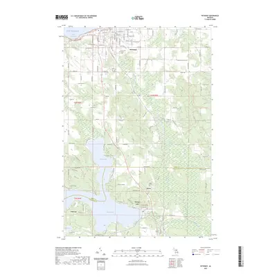
2023 Map of Petoskey
USGS Topo · Published 2023About this map
Petoskey stands at the edge of Little Traverse Bay on Lake Michigan, serving as a focal point where the residential streets of the city transition into the woodlots and rolling terrain of Emmet and Charlevoix counties. The landscape is defined by the winding course of the Bear River and the sprawling waters of Walloon Lake, which anchors the southern half of the map.
Find a feature on this map
122 named features on this map. Tap any name to fly to it.
Don’t see what you’re looking for? This feature index may not catch every label — zoom into the map to look around manually.
Map Details
Editions of this 2023 Petoskey Map
This is the sole edition of this map. No revisions or reprints were ever made.
Other maps of this area

1955 · Cheboygan
USGS Topo · 1:250,000

1958 · Cheboygan
USGS Topo · 1:250,000
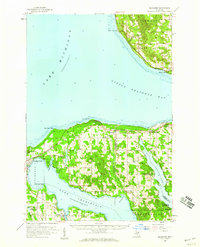
1958 · Bayshore
USGS Topo · 1:62,500
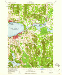
1958 · Petoskey
USGS Topo · 1:62,500
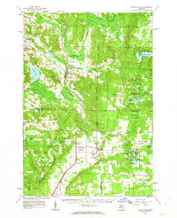
1961 · Boyne Falls
USGS Topo · 1:62,500
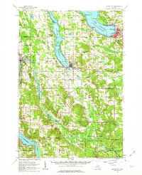
1961 · Boyne City
USGS Topo · 1:62,500
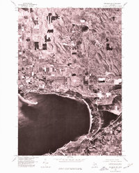
1975 · Petoskey NW
USGS Topo · 1:24,000
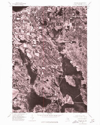
1975 · Petoskey SW
USGS Topo · 1:24,000
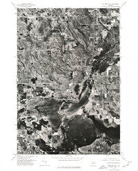
1975 · Petoskey NE
USGS Topo · 1:24,000
1975 · Boyne City NE
USGS Topo · 1:24,000