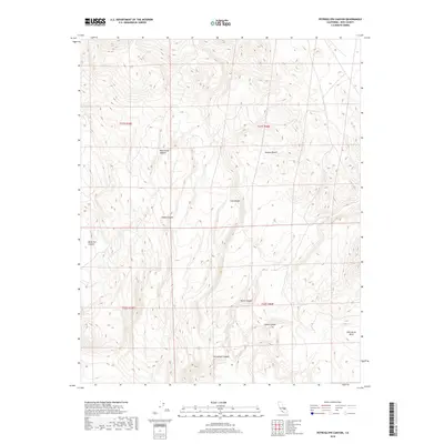
2018 Map of Petroglyph Canyon
USGS Topo · Published 2018About this map
Petroglyph Canyon and the surrounding drainage networks of the Coso Range characterize this 2018 survey of Inyo County. The landscape is defined by a complex system of arid washes and elevated plateaus, where the terrain shifts from the high ground of Wild Horse Mesa down through steeply incised features like Wild Horse Canyon and Black Canyon. This area of the Mojave Desert shows a pattern of geological erosion that has created distinct, isolated corridors such as Dead End Canyon and Sheep Canyon. The Bureau of Land Management records provide the legal framework for this territory, which is partitioned by the township and range lines of the Public Land Survey System. The absence of modern development highlights the preserved natural state of the range, centered around the named canyons that serve as the primary landmarks for navigation in this section of the desert.
Find a feature on this map
13 named features on this map. Tap any name to fly to it.
Don’t see what you’re looking for? This feature index may not catch every label — zoom into the map to look around manually.
Map Details
Editions of this 2018 Petroglyph Canyon Map
This is the sole edition of this map. No revisions or reprints were ever made.
Other maps of this area

1908 · Ballarat
USGS Topo · 1:250,000

1913 · Ballarat
USGS Topo · 1:250,000

1915 · Searles Lake
USGS Topo · 1:250,000

1947 · Trona
USGS Topo · 1:250,000

1948 · Trona
USGS Topo · 1:250,000

1948 · Death Valley
USGS Topo · 1:250,000

1951 · Haiwee Reservoir
USGS Topo · 1:62,500

1951 · Coso Peak
USGS Topo · 1:62,500

1953 · Mountain Springs Canyon
USGS Topo · 1:62,500

1953 · Trona
USGS Topo · 1:250,000