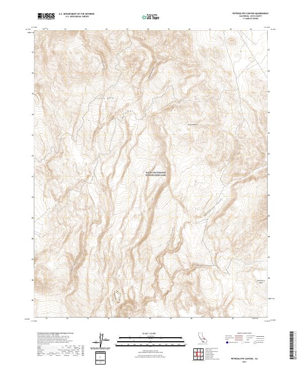
2021 Map of Petroglyph Canyon
USGS Topo · Published 2021About this map
The Coso Range dominates this landscape in the northern reach of the Mojave Desert, where a complex network of ephemeral drainages has carved deep into the high terrain. These steep-walled features include the eponymous Petroglyph Canyon, along with Wild Horse Canyon, Dead End Canyon, and Sheep Canyon. The drainage patterns suggest a terrain defined by high-elevation basalt and volcanic debris, culminating at the prominent Wild Horse Mesa in the southeast corner.
Find a feature on this map
13 named features on this map. Tap any name to fly to it.
Don’t see what you’re looking for? This feature index may not catch every label — zoom into the map to look around manually.
Map Details
Editions of this 2021 Petroglyph Canyon Map
This is the sole edition of this map. No revisions or reprints were ever made.
Other maps of this area

1908 · Ballarat
USGS Topo · 1:250,000

1913 · Ballarat
USGS Topo · 1:250,000

1915 · Searles Lake
USGS Topo · 1:250,000

1947 · Trona
USGS Topo · 1:250,000

1948 · Trona
USGS Topo · 1:250,000

1948 · Death Valley
USGS Topo · 1:250,000

1951 · Haiwee Reservoir
USGS Topo · 1:62,500

1951 · Coso Peak
USGS Topo · 1:62,500

1953 · Mountain Springs Canyon
USGS Topo · 1:62,500

1953 · Trona
USGS Topo · 1:250,000