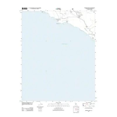
2012 Map of Pfeiffer Point
USGS Topo · Published 2012About this map
Posts stands as a primary focal point along the central California coast in this 2012 topographic study, marking a cluster of settlement and infrastructure where Post Cr flows toward the Pacific Ocean. The geography is defined by narrow canyons and dramatic coastal outcroppings, including Pfeiffer Point and Pfeiffer Rock. Land use in the area emphasizes recreation and conservation, evidenced by the clustered camping facilities near the Big Sur River, such as Sawmill Flat Campground, P B S S P South Campground, and Weyland Camp.
Find a feature on this map
23 named features on this map. Tap any name to fly to it.
Don’t see what you’re looking for? This feature index may not catch every label — zoom into the map to look around manually.
Map Details
Editions of this 2012 Pfeiffer Point Map
This is the sole edition of this map. No revisions or reprints were ever made.
Other maps of this area
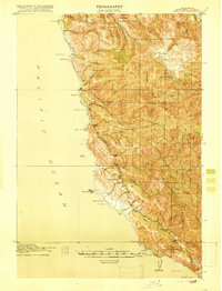
1918 · Point Sur
USGS Topo · 1:62,500
1920 · Jamesburg
USGS Topo · 1:48,000
1921 · Jamesburg
USGS Topo · 1:62,500
1921 · Lucia
USGS Topo · 1:62,500
1925 · Point Sur
USGS Topo · 1:62,500
1939 · Jamesburg
USGS Topo · 1:62,500
1940 · Jamesburg
USGS Topo · 1:62,500
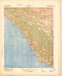
1941 · Lucia
USGS Topo · 1:62,500
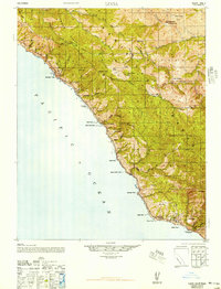
1947 · Lucia
USGS Topo · 1:62,500
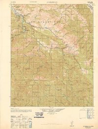
1947 · Jamesburg
USGS Topo · 1:62,500