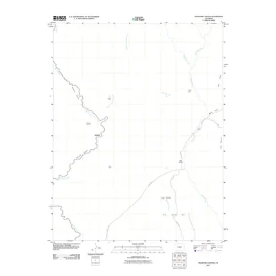
2011 Map of Phantom Canyon
USGS Topo · Published 2011About this map
Phantom Canyon winds through the western portion of this 2011 survey, following the steep path of Eightmile Creek. This rugged landscape in Fremont County is defined by its history of extraction and high-altitude ranching, evidenced by the central settlement of Adelaide and the scattered remnants of mining operations like the Phantom Lode Mine and Dell Mine. The geography transitions from the deep drainage of the canyon to the eastern plateaus where Table Mountain and Sugar Loaf rise above the drainage of Beaver Creek.
Find a feature on this map
25 named features on this map. Tap any name to fly to it.
Don’t see what you’re looking for? This feature index may not catch every label — zoom into the map to look around manually.
Map Details
Editions of this 2011 Phantom Canyon Map
This is the sole edition of this map. No revisions or reprints were ever made.
Other maps of this area

1889 · Canon City
USGS Topo · 1:125,000

1891 · Pueblo
USGS Topo · 1:125,000

1892 · Canon City
USGS Topo · 1:125,000

1893 · Colorado Springs
USGS Topo · 1:125,000

1894 · Pikes Peak
USGS Topo · 1:125,000

1894 · Pueblo
USGS Topo · 1:125,000

1896 · Pueblo
USGS Topo · 1:125,000

1897 · Pueblo
USGS Topo · 1:125,000

1901 · Pikes Peak
USGS Topo · 1:125,000

1909 · Colorado Springs
USGS Topo · 1:125,000