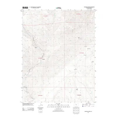
2013 Map of Phantom Canyon
USGS Topo · Published 2013About this map
Adelaide and the winding course of the Phantom Canyon Rd define this area of Fremont County, where steep drainage networks converge. The landscape is marked by the sharp descent of Phantom Canyon itself, which follows the path of Eightmile Cr through narrow mountain passages. High-elevation landmarks such as Sugar Loaf and the expansive Table Mountain loom over the terrain, providing natural boundaries for the small homesteads and clearings in the gulches below. Traces of early settlement and ranching life are visible at sites like Clark Ranch and Holbert Cabin, while the Upper Beaver Cem near the banks of Beaver Cr serves as a quiet record of the families who worked this land. To the south, Soda Springs Park and Box Canyon offer a change in the geological character, where the intricate topography of the Front Range foothills transitions into more defined canyon systems.
Find a feature on this map
21 named features on this map. Tap any name to fly to it.
Don’t see what you’re looking for? This feature index may not catch every label — zoom into the map to look around manually.
Map Details
Editions of this 2013 Phantom Canyon Map
This is the sole edition of this map. No revisions or reprints were ever made.
Other maps of this area

1889 · Canon City
USGS Topo · 1:125,000

1891 · Pueblo
USGS Topo · 1:125,000

1892 · Canon City
USGS Topo · 1:125,000

1893 · Colorado Springs
USGS Topo · 1:125,000

1894 · Pikes Peak
USGS Topo · 1:125,000

1894 · Pueblo
USGS Topo · 1:125,000

1896 · Pueblo
USGS Topo · 1:125,000

1897 · Pueblo
USGS Topo · 1:125,000

1901 · Pikes Peak
USGS Topo · 1:125,000

1909 · Colorado Springs
USGS Topo · 1:125,000