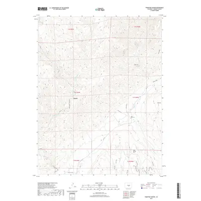
2019 Map of Phantom Canyon
USGS Topo · Published 2019About this map
Adelaide serves as a central point of interest in this high-altitude landscape of Fremont County, where the terrain is deeply etched by watercourses and canyons. The namesake Phantom Canyon creates a prominent drainage corridor alongside Eightmile Cr, a pattern echoed by the intricate networks of E Fork Eightmile Cr and W Beaver Cr. These valleys have long dictated movement through the region, as evidenced by the modern path of Co RD 67 following the natural contours of the canyon floor.
Find a feature on this map
36 named features on this map. Tap any name to fly to it.
Don’t see what you’re looking for? This feature index may not catch every label — zoom into the map to look around manually.
Map Details
Editions of this 2019 Phantom Canyon Map
This is the sole edition of this map. No revisions or reprints were ever made.
Other maps of this area

1889 · Canon City
USGS Topo · 1:125,000

1891 · Pueblo
USGS Topo · 1:125,000

1892 · Canon City
USGS Topo · 1:125,000

1893 · Colorado Springs
USGS Topo · 1:125,000

1894 · Pikes Peak
USGS Topo · 1:125,000

1894 · Pueblo
USGS Topo · 1:125,000

1896 · Pueblo
USGS Topo · 1:125,000

1897 · Pueblo
USGS Topo · 1:125,000

1901 · Pikes Peak
USGS Topo · 1:125,000

1909 · Colorado Springs
USGS Topo · 1:125,000