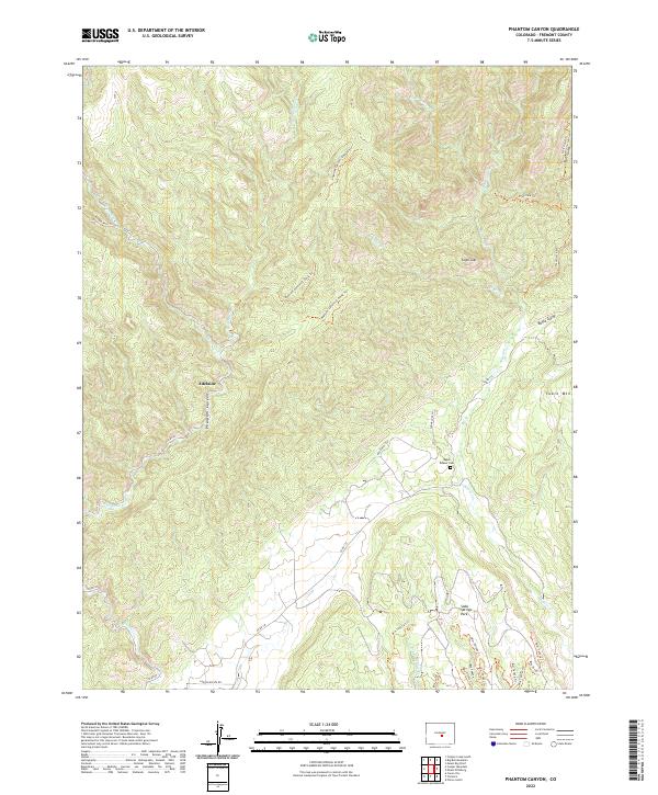
2022 Map of Phantom Canyon
USGS Topo · Published 2022About this map
Adelaide sits deep within the canyon system of Fremont County, a focal point for this 2022 survey of the high mountain terrain. The landscape is defined by the carved paths of Eightmile Cr and Beaver Cr, which dictate the local topography and the historical placement of settlements and transit routes. The presence of the Upper Beaver Cem provides a genealogical anchor in an otherwise sparsely populated region dominated by high-elevation landforms like Table Mtn and Sugar Loaf.
Find a feature on this map
42 named features on this map. Tap any name to fly to it.
Don’t see what you’re looking for? This feature index may not catch every label — zoom into the map to look around manually.
Map Details
Editions of this 2022 Phantom Canyon Map
This is the sole edition of this map. No revisions or reprints were ever made.
Other maps of this area

1889 · Canon City
USGS Topo · 1:125,000

1891 · Pueblo
USGS Topo · 1:125,000

1892 · Canon City
USGS Topo · 1:125,000

1893 · Colorado Springs
USGS Topo · 1:125,000

1894 · Pikes Peak
USGS Topo · 1:125,000

1894 · Pueblo
USGS Topo · 1:125,000

1896 · Pueblo
USGS Topo · 1:125,000

1897 · Pueblo
USGS Topo · 1:125,000

1901 · Pikes Peak
USGS Topo · 1:125,000

1909 · Colorado Springs
USGS Topo · 1:125,000