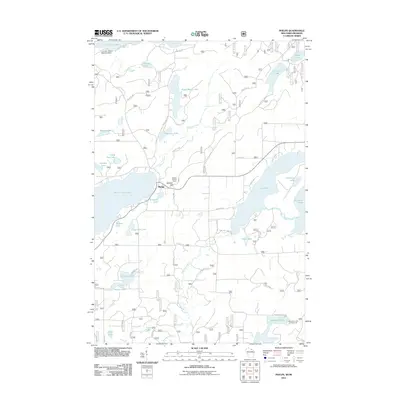
2011 Map of Phelps
USGS Topo · Published 2011About this map
Phelps serves as the central hub of this lake-strewn landscape in the early 21st century, situated near the western shore of North Twin Lake. The geography is defined by an intricate network of water bodies, from the expansive Lac Vieux Desert at the northern edge to the winding Deerskin River and Thoroughfare Creek in the south. Aviation and forestry history are visible through the Lac Vieux Desert Seaplane Base and the Military Hill Fire Tower, which stands atop Military Hill. This map documents a recreation-heavy region where many water bodies, such as Sugar Maple Lake, Afterglow Lake, and Long Lake, are connected by a mesh of secondary roads like Sugar Maple Rd and Old 70 Rd. The southeastern corner provides a look at local leisure sites including the Spectacle Lake Campground along the shores of Spectacle Lake.
Find a feature on this map
55 named features on this map. Tap any name to fly to it.
Don’t see what you’re looking for? This feature index may not catch every label — zoom into the map to look around manually.
Map Details
Editions of this 2011 Phelps Map
This is the sole edition of this map. No revisions or reprints were ever made.
Other maps of this area

1928 · Three Lakes
USGS Topo · 1:48,000

1938 · Phelps
USGS Topo · 1:48,000

1938 · Alvin
USGS Topo · 1:48,000

1938 · Three Lakes
USGS Topo · 1:48,000

1945 · Three Lakes
USGS Topo · 1:48,000

1946 · Alvin
USGS Topo · 1:48,000

1950 · Phelps
USGS Topo · 1:48,000

1954 · Iron Mountain
USGS Topo · 1:250,000

1956 · Beechwood
USGS Topo · 1:62,500

1956 · Phelps
USGS Topo · 1:62,500