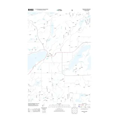
2013 Map of Phelps
USGS Topo · Published 2013About this map
The town of Phelps serves as the focal point for this lake-strewn landscape in Vilas County, situated near the headwaters of the Deerskin River and Military Cr. The local elevation reaches a peak at Military Hill, which is prominently marked by the Military Hill Fire Tower, a significant landmark for forest management in this timber-rich region. The map captures the settlement pattern around Coveyville and the numerous water bodies that define the Northwoods character of the area, including the sprawling Long and Big Sand Lakes 15 and the northern border formed by Lac Vieux Desert 21. Recreation is central to the area's geography, evidenced by the Spectacle Lake Campground on the shores of Spectacle Lake. The intricate network of local roads such as Sugar Maple Rd and Kentuck Lake Rd provides access to scattered dwellings and the varied shoreline of smaller waters like Noseeum Lake and Afterglow Lake.
Find a feature on this map
115 named features on this map. Tap any name to fly to it.
Don’t see what you’re looking for? This feature index may not catch every label — zoom into the map to look around manually.
Map Details
Editions of this 2013 Phelps Map
This is the sole edition of this map. No revisions or reprints were ever made.
Other maps of this area

1928 · Three Lakes
USGS Topo · 1:48,000

1938 · Phelps
USGS Topo · 1:48,000

1938 · Alvin
USGS Topo · 1:48,000

1938 · Three Lakes
USGS Topo · 1:48,000

1945 · Three Lakes
USGS Topo · 1:48,000

1946 · Alvin
USGS Topo · 1:48,000

1950 · Phelps
USGS Topo · 1:48,000

1954 · Iron Mountain
USGS Topo · 1:250,000

1956 · Beechwood
USGS Topo · 1:62,500

1956 · Phelps
USGS Topo · 1:62,500