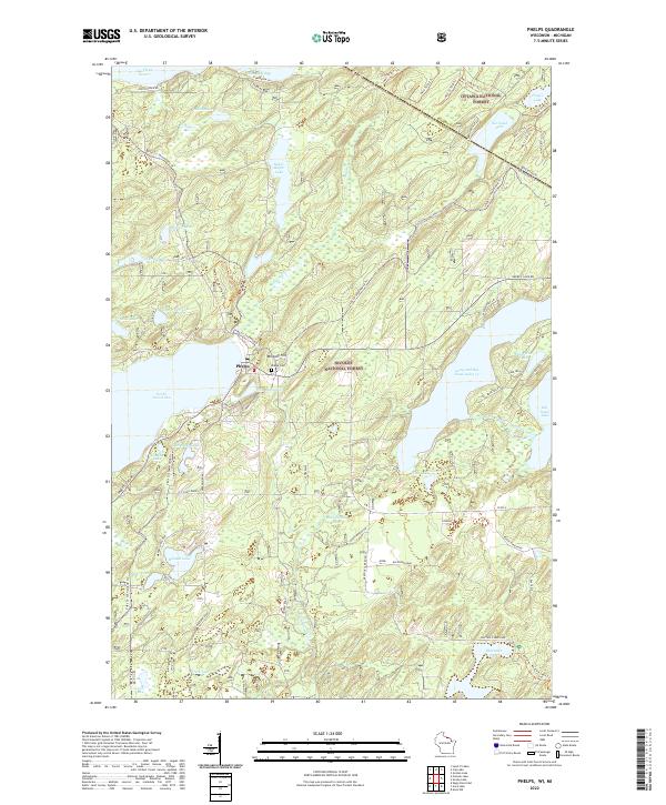
2022 Map of Phelps
USGS Topo · Published 2022About this map
Phelps serves as the central hub of this northern Wisconsin landscape, situated along the northern shore of North Twin Lake. The town is surrounded by the dense timberlands of the Nicolet National Forest and the Ottawa National Forest, the latter of which crosses the border into Michigan. This modern survey reflects the area's transition into a prime recreational destination, showing an extensive network of trails such as the Vilas Co Snowmobile Trl and the Phelps Ski And Hiking Trl.
Find a feature on this map
62 named features on this map. Tap any name to fly to it.
Don’t see what you’re looking for? This feature index may not catch every label — zoom into the map to look around manually.
Map Details
Editions of this 2022 Phelps Map
This is the sole edition of this map. No revisions or reprints were ever made.
Other maps of this area

1928 · Three Lakes
USGS Topo · 1:48,000

1938 · Phelps
USGS Topo · 1:48,000

1938 · Alvin
USGS Topo · 1:48,000

1938 · Three Lakes
USGS Topo · 1:48,000

1945 · Three Lakes
USGS Topo · 1:48,000

1946 · Alvin
USGS Topo · 1:48,000

1950 · Phelps
USGS Topo · 1:48,000

1954 · Iron Mountain
USGS Topo · 1:250,000

1956 · Beechwood
USGS Topo · 1:62,500

1956 · Phelps
USGS Topo · 1:62,500