Loading...
Loading map...2024 Map of Phenix City
USGS Topo · Published 2024About this map
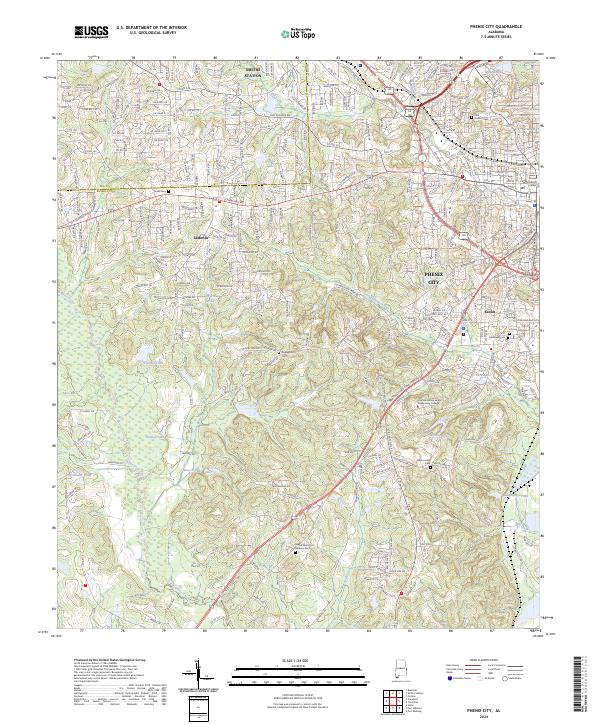
Phenix City and its western suburbs in Lee and Russell counties are depicted here in contemporary detail. The landscape is defined by the transition from the developed core near the County Judicial Center to the residential expansion in Ladonia and Smiths Station. To the south and east, the drainage of Cochgalechee Creek and Little Uchee Creek shapes the terrain, punctuated by numerous small impoundments such as Venable Lake and Dudley Lake.
Find a feature on this map
48 named features on this map. Tap any name to fly to it.
Don’t see what you’re looking for? This feature index may not catch every label — zoom into the map to look around manually.
Map Details
Date Portrayed2024
Date Published2024
PublisherU.S. Geological Survey
Map TypeTopographic
Scale1:24000
Physical Dimensions24 x 29 inches
Editions of this 2024 Phenix City Map
This is the sole edition of this map. No revisions or reprints were ever made.
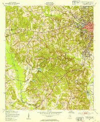
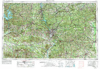
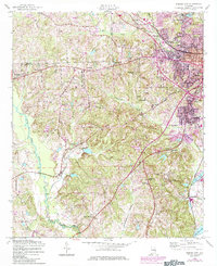
Historical Maps of Lee County Through Time
6 maps found


Featured Locations
Source Details
SourceU.S. Geological Survey
CopyrightPublic Domain