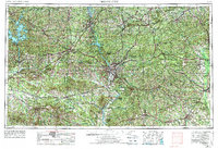
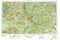
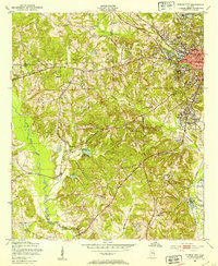
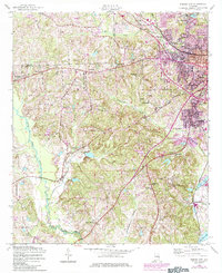
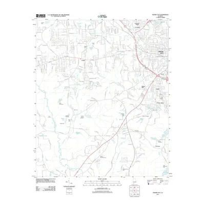
1955 Map of Phenix City
USGS Topo · Published 1974About this map
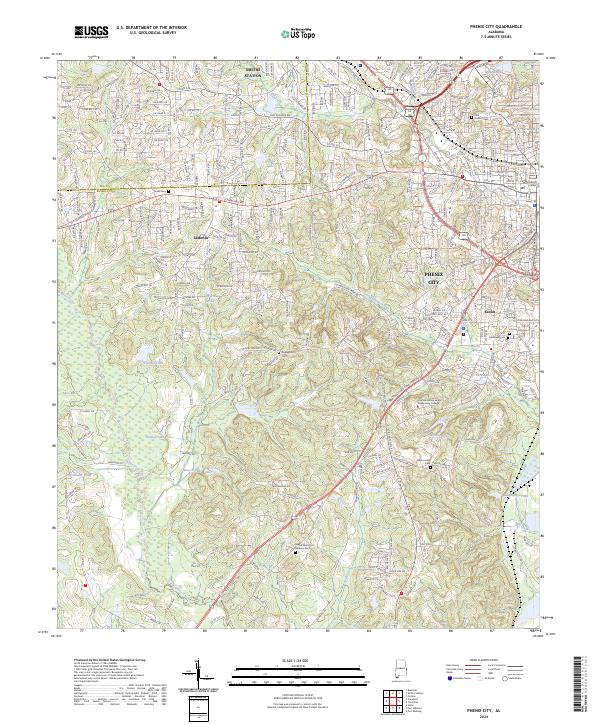
The Chattahoochee River defines the border between Alabama and Georgia on this regional study, anchored by the urban centers of Columbus and Phenix City. The landscape reveals a complex network of mid-century infrastructure and land use, ranging from the expansive Fort Benning Military Reservation to the waters of Martin Lake along the Tallapoosa River. Local economies are visible through the layout of agricultural towns like Americus and Tuskegee, while the presence of Warm Springs and the Pine Mountain ridge indicates the varied geographic character of the Chattahoochee Valley. Downstream, the Eufaula National Wildlife Refuge marks the transition into the southern wetlands of the basin, providing a comprehensive view of the transit corridors and natural resources that shaped these counties in the 1950s and 1970s.
Find a feature on this map
71 named features on this map. Tap any name to fly to it.
Don’t see what you’re looking for? This feature index may not catch every label — zoom into the map to look around manually.
Map Details
Editions of this 1955 Phenix City Map
3 editions found

Historical Maps of Columbus Through Time
10 maps found
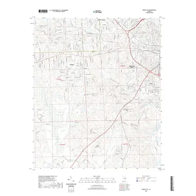
1950 Phenix City
Russell County, AL
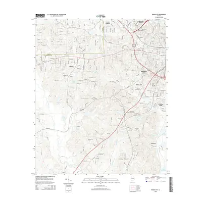
1955 Phenix City
Russell County, AL
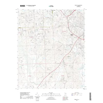
1955 Phenix City
Russell County, AL

1957 Phenix City
Russell County, AL

1958 Phenix City
Russell County, AL
2011 Phenix City
Russell County, AL
2014 Phenix City
Russell County, AL
2018 Phenix City
Russell County, AL
2020 Phenix City
Russell County, AL
2024 Phenix City
Russell County, AL