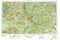
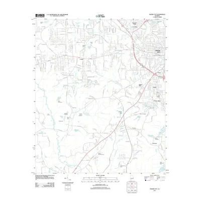
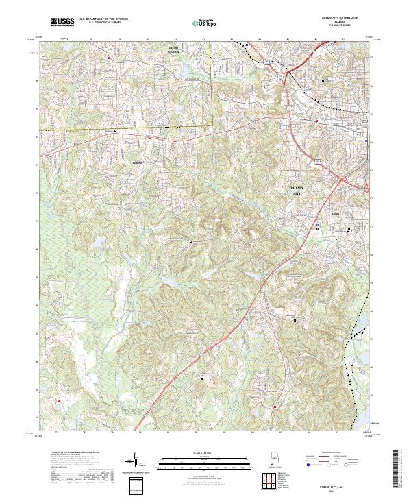
1955 Map of Phenix City
USGS Topo · Published 1974About this map
The Chattahoochee River corridor serves as the central artery for this mid-century survey, dividing the borderlands of Alabama and Georgia. Dominating the landscape east of Phenix City and Columbus, the Fort Benning Military Reservation spans several counties, reflecting the deep-seated military presence that shaped the local economy and geography after the mid-1950s. To the west, the winding reaches of Martin Lake and the Tallapoosa River define the terrain near Alexander City.
Find a feature on this map
35 named features on this map. Tap any name to fly to it.
Don’t see what you’re looking for? This feature index may not catch every label — zoom into the map to look around manually.
Map Details
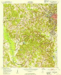
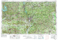
Editions of this 1955 Phenix City Map
3 editions found

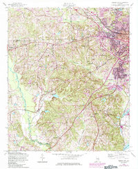
Historical Maps of Columbus Through Time
10 maps found
1950 Phenix City
Russell County, AL
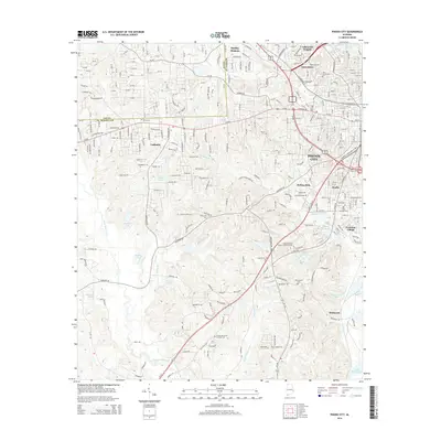
1955 Phenix City
Russell County, AL
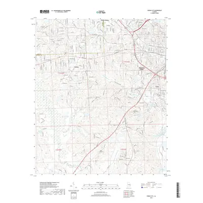
1955 Phenix City
Russell County, AL

1957 Phenix City
Russell County, AL

1958 Phenix City
Russell County, AL
2011 Phenix City
Russell County, AL
2014 Phenix City
Russell County, AL
2018 Phenix City
Russell County, AL
2020 Phenix City
Russell County, AL
2024 Phenix City
Russell County, AL