Loading...
Loading map...1947 Map of Phil Campbell
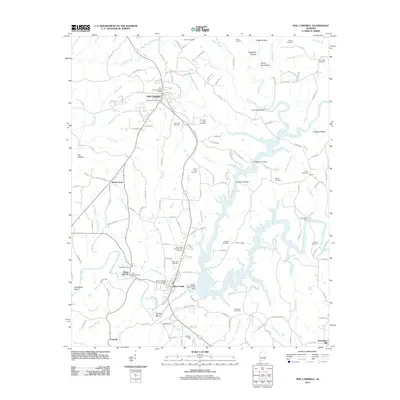
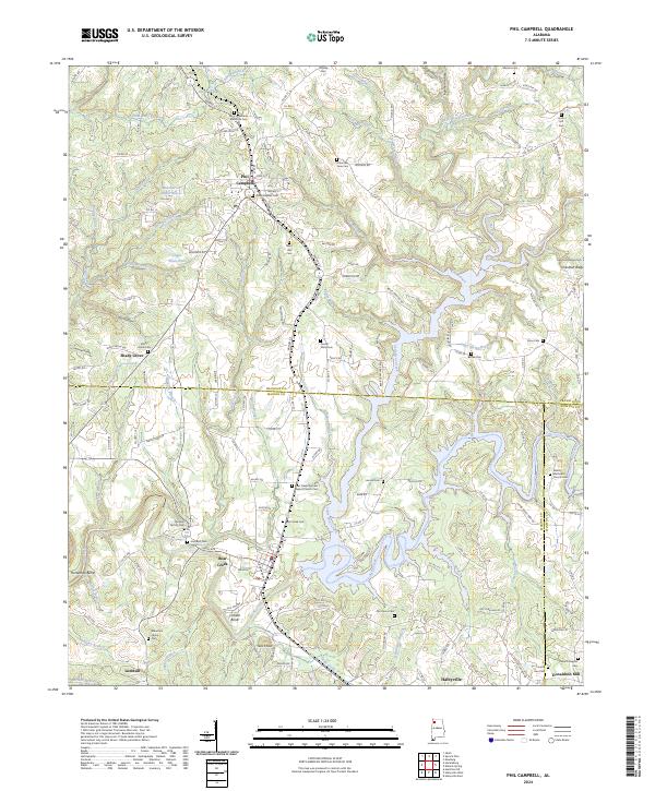
USGS Topo · Published 1947About this map
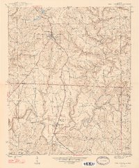
Phil Campbell serves as the primary hub in this late 1940s landscape, where the Southern railroad and the Jackson Highway intersect to define the local commerce. To the south, the community of Bear Creek is centered around Phillips High Sch and the nearby Bear Creek Cem, reflecting a settled rural pattern that spans the Franklin and Marion County line. The terrain is deeply carved by the namesake Bear Creek and its many tributaries like Cammings Br and Caney Branch.
Find a feature on this map
67 named features on this map. Tap any name to fly to it.
Don’t see what you’re looking for? This feature index may not catch every label — zoom into the map to look around manually.
Map Details
Date Portrayed1947
Date Published1947
PublisherU.S. Geological Survey
Map TypeTopographic
Scale1:24,000
Physical Dimensions21.43 x 25.88 inches
Editions of this 1947 Phil Campbell Map
2 editions found
Historical Maps of Haleyville Through Time
8 maps found
Featured Locations
Source Details
SourceU.S. Geological Survey
CopyrightPublic Domain