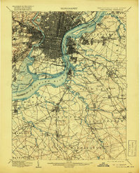
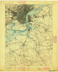
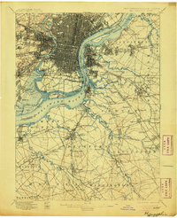
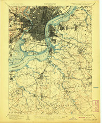
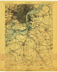
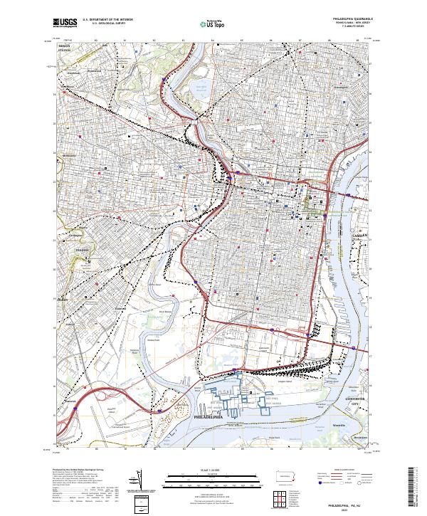
1898 Map of Philadelphia
USGS Topo · Published 1919About this map
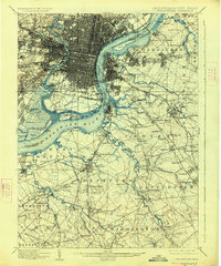
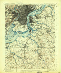
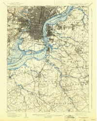
The Delaware River and Schuylkill River converge at the heart of this industrial and maritime landscape, anchoring a massive network of rail lines and shipping terminals. The sprawling U. S. Navy Yard at League Id. and the defensive grounds of Fort Mifflin underscore the region's strategic importance during the late nineteenth century. Beyond the dense street grids of South Philadelphia and Camden, the map reveals a transition into the suburban and rural reaches of New Jersey, where settlements like Gloucester and Woodbury are linked by the West Jersey And Seashore R. R. and numerous branches of the P. R. R. (Pennsylvania Railroad).
Find a feature on this map
169 named features on this map. Tap any name to fly to it.
Don’t see what you’re looking for? This feature index may not catch every label — zoom into the map to look around manually.
Map Details
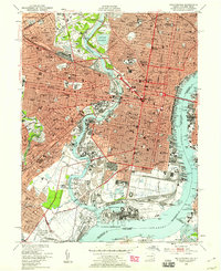
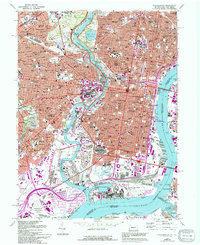
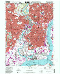
Editions of this 1898 Philadelphia Map
9 editions found

Historical Maps of Philadelphia Through Time
14 maps found

1891 Philadelphia
Philadelphia County, PA

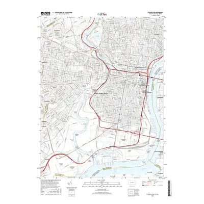
1894 Philadelphia
Philadelphia County, PA

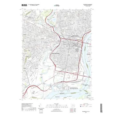
1896 Philadelphia
Philadelphia County, PA
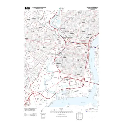
1898 Philadelphia
Philadelphia County, PA

1920 Philadelphia
Philadelphia County, PA

1943 Philadelphia
Philadelphia County, PA
1949 Philadelphia
Philadelphia County, PA
1967 Philadelphia
Philadelphia County, PA
1995 Philadelphia
Philadelphia County, PA
2011 Philadelphia
Philadelphia County, PA
2013 Philadelphia
Philadelphia County, PA
2016 Philadelphia
Philadelphia County, PA
2019 Philadelphia
Philadelphia County, PA
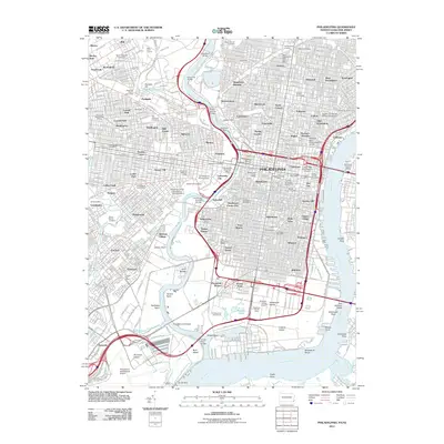
2023 Philadelphia
Philadelphia County, PA