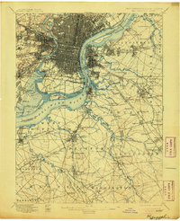
1898 Map of Philadelphia
USGS Topo · Published 1905About this map
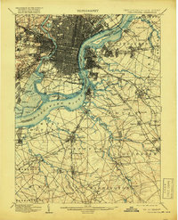
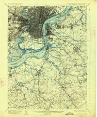
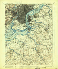
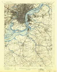
The Delaware River serves as the central artery for this late-19th-century study, dividing the industrial grid of Philadelphia from the burgeoning rail towns of New Jersey. The riverfront is defined by significant maritime and military installations, including the U. S. Navy Yard on League Id. and the defensive works at Fort Mifflin. Inland, the landscape reveals a transition from the dense urban wards of Overbrook and Paschallville to the sprawling parklands of Fairmount Park. Across the water, the interconnected rail networks of the Pennsylvania R. R. and various Atlantic City divisions facilitate the growth of Camden-area communities such as Pavonia, Cramer Hill, and Merchantville. The survey captures a high-water mark of Victorian-era infrastructure, where established settlements like Haddington and Angora are linked by an intricate web of steam railroads and river ferries.
Find a feature on this map
151 named features on this map. Tap any name to fly to it.
Don’t see what you’re looking for? This feature index may not catch every label — zoom into the map to look around manually.
Map Details
Editions of this 1898 Philadelphia Map
9 editions found

Other maps of this area

1888 · Mount Holly
USGS Topo · 1:62,500

1890 · Hammonton
USGS Topo · 1:62,500

1890 · Salem
USGS Topo · 1:62,500

1890 · Burlington
USGS Topo · 1:62,500

1890 · Glassboro
USGS Topo · 1:62,500

1891 · Philadelphia
USGS Topo · 1:62,500

1893 · Germantown
USGS Topo · 1:62,500

1893 · Burlington
USGS Topo · 1:62,500

1894 · Hammonton
USGS Topo · 1:62,500

1894 · Mount Holly
USGS Topo · 1:62,500