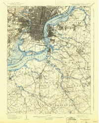
1898 Map of Philadelphia
USGS Topo · Published 1943About this map
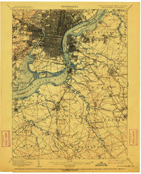
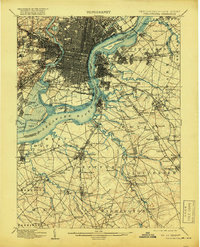
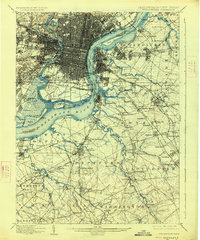
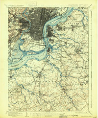
The Schuylkill River and Delaware River define the industrial and maritime layout of this late 19th-century landscape, where the dense urban grid of Philadelphia meets the evolving suburbs and marshlands of New Jersey. The sprawling U.S. Navy Yard and the strategic position of Fort Mifflin anchor the riverfront, while the interior is a complex web of competing rail lines like the West Jersey and Seashore R.R. and the Phila. & Reading R.R.. Beyond the city's edge, small settlements such as Paschallville and Haddington illustrate the early stages of regional expansion. In New Jersey, the terrain transitions from the bustling docks of Camden and Pavonia to the agricultural reaches of Deptford and Washington townships, connected by numerous creeks including Big Timber Creek and Mantua Creek. This survey captures the transition from river-based commerce to the rail-dominated economy that shaped the modern metropolitan area.
Find a feature on this map
163 named features on this map. Tap any name to fly to it.
Don’t see what you’re looking for? This feature index may not catch every label — zoom into the map to look around manually.
Map Details
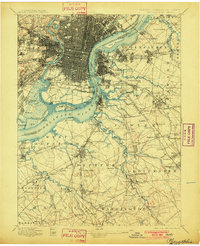
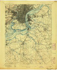
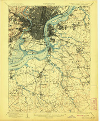
Editions of this 1898 Philadelphia Map
9 editions found

Other maps of this area

1888 · Mount Holly
USGS Topo · 1:62,500

1890 · Hammonton
USGS Topo · 1:62,500

1890 · Salem
USGS Topo · 1:62,500

1890 · Burlington
USGS Topo · 1:62,500

1890 · Glassboro
USGS Topo · 1:62,500

1891 · Philadelphia
USGS Topo · 1:62,500

1893 · Germantown
USGS Topo · 1:62,500

1893 · Burlington
USGS Topo · 1:62,500

1894 · Hammonton
USGS Topo · 1:62,500

1894 · Mount Holly
USGS Topo · 1:62,500