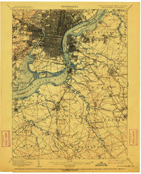
1898 Map of Philadelphia
USGS Topo · Published 1912About this map
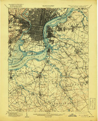
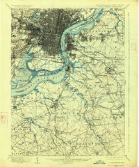
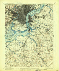
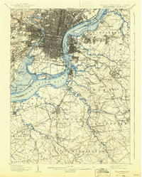
The Schuylkill River and Delaware River define the industrial and maritime layout of Philadelphia and its southern environs in the late 19th century. Along the waterfront, the U. S. Navy Yard on League Id. and the historic fortifications at Fort Mifflin highlight the strategic importance of the river confluence. The city's growth is evident in the dense street grids extending toward Haddington and Overbrook, while a complex network of railroads, including the Phila. & Reading R. R. and the Kensington and Tacony R. R., ties the urban center to outlying communities like Paschallville. Across the Delaware, the landscape shifts toward the townships of southern New Jersey, where settlements such as Gloucester and Westville are connected by the Atlantic City R. R. and branches of the West Jersey and Seashore R. R., illustrating the early regional transportation links.
Find a feature on this map
160 named features on this map. Tap any name to fly to it.
Don’t see what you’re looking for? This feature index may not catch every label — zoom into the map to look around manually.
Map Details
Editions of this 1898 Philadelphia Map
9 editions found

Other maps of this area

1888 · Mount Holly
USGS Topo · 1:62,500

1890 · Hammonton
USGS Topo · 1:62,500

1890 · Salem
USGS Topo · 1:62,500

1890 · Burlington
USGS Topo · 1:62,500

1890 · Glassboro
USGS Topo · 1:62,500

1891 · Philadelphia
USGS Topo · 1:62,500

1893 · Germantown
USGS Topo · 1:62,500

1893 · Burlington
USGS Topo · 1:62,500

1894 · Hammonton
USGS Topo · 1:62,500

1894 · Mount Holly
USGS Topo · 1:62,500