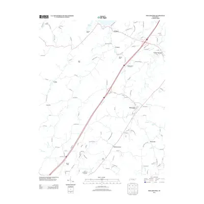
2013 Map of Philadelphia
USGS Topo · Published 2013About this map
Philadelphia serves as a primary settlement hub in this part of eastern Tennessee, situated where modern transit corridors cross historical rural landscapes. The terrain is defined by a series of parallel elevations including Snow Ridge, Matlock Ridge, and Watson Ridge, which dictate the flow of numerous waterways like Sweetwater Cr and Pond Cr. To the north, the reaches of Watts Bar Lake meet the Stockton Valley, illustrating the intersection of managed water resources and traditional agricultural valleys. The map documents a mix of small community centers such as Old Sweetwater, Adolphus, and Sunnyside, alongside specialized landmarks like the Fergusons Flying Circus Airport. Transportation history is visible through the alignment of roads and rail infrastructure, including the Gilman Switch, which historically facilitated the movement of goods through this corridor between the Tennessee River valley and the foothills of the mountains.
Find a feature on this map
123 named features on this map. Tap any name to fly to it.
Don’t see what you’re looking for? This feature index may not catch every label — zoom into the map to look around manually.
Map Details
Editions of this 2013 Philadelphia Map
This is the sole edition of this map. No revisions or reprints were ever made.
Other maps of this area

1887 · Kingston
USGS Topo · 1:125,000

1891 · Kingston
USGS Topo · 1:125,000

1893 · Kingston
USGS Topo · 1:125,000

1895 · Loudon
USGS Topo · 1:125,000

1935 · Niota
USGS Topo · 1:24,000

1935 · Lenoir City
USGS Topo · 1:24,000

1935 · Philadelphia
USGS Topo · 1:24,000

1936 · Cave Creek
USGS Topo · 1:24,000
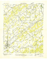
1936 · Madisonville
USGS Topo · 1:24,000
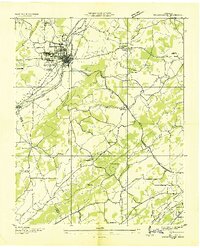
1936 · Sweetwater
USGS Topo · 1:24,000