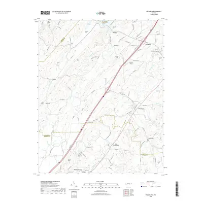
2019 Map of Philadelphia
USGS Topo · Published 2019About this map
Loudon and Philadelphia anchor this survey of the East Tennessee corridor, where the ridge-and-valley landscape dictates the paths of historic travel. The terrain is defined by prominent elevations like Snow Ridge, Galyon Ridge, and Matlock Ridge, which channel drainage into Pond Creek and Sweetwater Creek. The northern edge of the map follows the winding shoreline of Watts Bar Lake and Zion Hollow, where the landscape meets the Tennessee River system.
Find a feature on this map
224 named features on this map. Tap any name to fly to it.
Don’t see what you’re looking for? This feature index may not catch every label — zoom into the map to look around manually.
Map Details
Editions of this 2019 Philadelphia Map
This is the sole edition of this map. No revisions or reprints were ever made.
Other maps of this area

1887 · Kingston
USGS Topo · 1:125,000

1891 · Kingston
USGS Topo · 1:125,000

1893 · Kingston
USGS Topo · 1:125,000

1895 · Loudon
USGS Topo · 1:125,000

1935 · Niota
USGS Topo · 1:24,000

1935 · Lenoir City
USGS Topo · 1:24,000

1935 · Philadelphia
USGS Topo · 1:24,000

1936 · Cave Creek
USGS Topo · 1:24,000
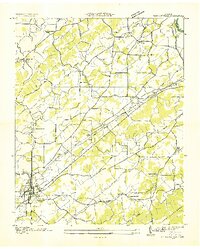
1936 · Madisonville
USGS Topo · 1:24,000
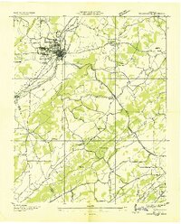
1936 · Sweetwater
USGS Topo · 1:24,000