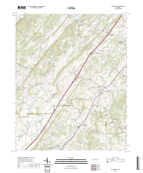
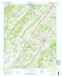
2022 Map of Philadelphia
USGS Topo · Published 2022About this map
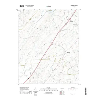
The valley and ridge landscape of East Tennessee defines this area, where the boundaries of Roane, Monroe, and Loudon counties meet. The settlement of Philadelphia sits at the center of a network of waterways including Sweetwater Creek and Bacon Cr. The map reveals a high density of family and community cemeteries, such as Marney Cem and Harris Cem, which reflect the deep-rooted genealogical history of the surrounding ridges like Matlock Ridge and Snow Ridge.
Find a feature on this map
129 named features on this map. Tap any name to fly to it.
Don’t see what you’re looking for? This feature index may not catch every label — zoom into the map to look around manually.
Map Details
Editions of this 2022 Philadelphia Map
This is the sole edition of this map. No revisions or reprints were ever made.
Historical Maps of Loudon Through Time
9 maps found
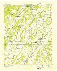
1935 Philadelphia
Loudon County, TN
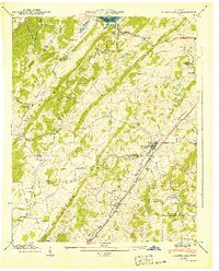
1940 Philadelphia
Loudon County, TN
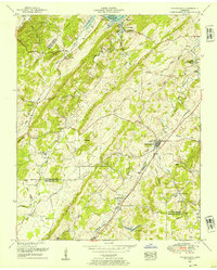
1952 Philadelphia
Loudon County, TN
1974 Philadelphia
Loudon County, TN
2010 Philadelphia
Loudon County, TN
2013 Philadelphia
Loudon County, TN
2016 Philadelphia
Loudon County, TN
2019 Philadelphia
Loudon County, TN
2022 Philadelphia
Loudon County, TN