1940 Map of Philadelphia
USGS Topo · Published 1940About this map
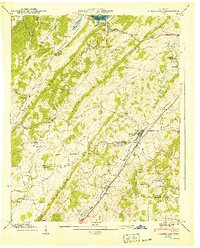
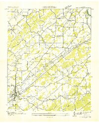
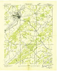
Philadelphia and Old Sweetwater anchor this 1940 Tennessee Valley Authority and USGS topographic study, showing the region at a moment of transition as the Watts Bar Res began to influence the northern reaches of the Tennessee R. The map details a landscape defined by parallel ridges like Snow Ridge and Matlock Ridge, where small farming communities and educational outposts such as Pond Creek Sch and Sunnyside Sch were connected by winding creek-side roads. The Southern railroad and the Lee Highway serve as the primary transit corridors, cutting through the valley and linking the rural settlements. Genealogists will find significant value in the distribution of family-named landmarks and rural institutions, including Roberson Cem, New Hope Ch, and the dual-purpose Stocton Valley Ch Snow Sch, which speak to the deeply rooted social structure of Roane, Loudon, and Monroe counties prior to mid-century modernization.
Find a feature on this map
40 named features on this map. Tap any name to fly to it.
Don’t see what you’re looking for? This feature index may not catch every label — zoom into the map to look around manually.
Map Details
Editions of this 1940 Philadelphia Map
This is the sole edition of this map. No revisions or reprints were ever made.
Other maps of this area

1887 · Kingston
USGS Topo · 1:125,000

1891 · Kingston
USGS Topo · 1:125,000

1893 · Kingston
USGS Topo · 1:125,000

1895 · Loudon
USGS Topo · 1:125,000
1935 · Niota
USGS Topo · 1:24,000
1935 · Lenoir City
USGS Topo · 1:24,000
1935 · Philadelphia
USGS Topo · 1:24,000

1936 · Cave Creek
USGS Topo · 1:24,000
1936 · Madisonville
USGS Topo · 1:24,000
1936 · Sweetwater
USGS Topo · 1:24,000