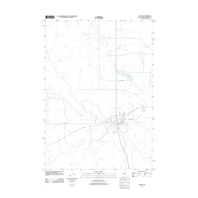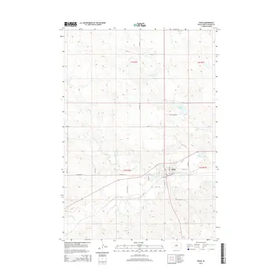
1953 Map of Philip
USGS Topo · Published 1980About this map
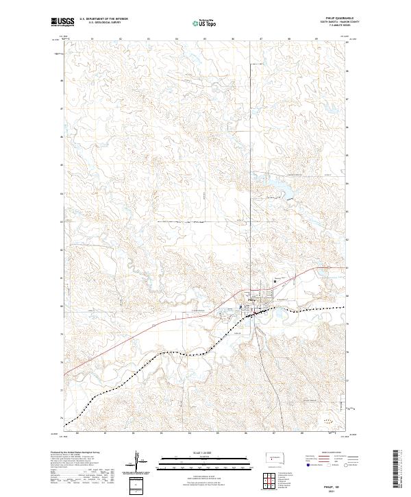
Philip serves as the regional hub for Haakon County, situated at the strategic confluence where the North Fork Bad River and South Fork Bad River merge. This mid-century landscape is defined by the Chicago and North Western railway, which tracks the river valley through town, providing a vital link for the agricultural and ranching interests of the western plains. The map reveals a community structured around both traditional and evolving needs, featuring the Masonic Cem and the Jones Sch alongside mid-century additions like a Trailer Park. Water management is prominent in the surrounding terrain, with Waggoner Lake and its associated Pumping Sta and Spillway indicating the infrastructure required to support the town and its railway operations in a semi-arid environment. To the north, the upland reaches of Sheldon and the winding course of Grindstone Creek mark the transition into more open range territory.
Find a feature on this map
18 named features on this map. Tap any name to fly to it.
Don’t see what you’re looking for? This feature index may not catch every label — zoom into the map to look around manually.
Map Details
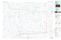
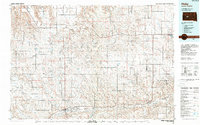
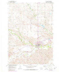
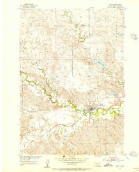
Editions of this 1953 Philip Map
2 editions found
Historical Maps of Philip Through Time
7 maps found