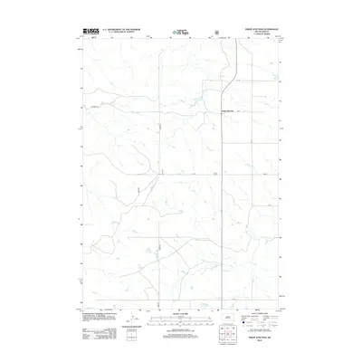
2012 Map of Philip Junction
USGS Topo · Published 2012About this map
Philip Junction stands as a focal point in this 2012 survey of the Jackson County landscape, where the prairie is defined by a systematic grid of county roads and drainage systems. The terrain is etched by the meandering path of Brady Cr, which winds through the southeast corner, providing a natural contrast to the structured network of thoroughfares like Co Road S-26 and Cs 19. This map illustrates the contemporary rural infrastructure of South Dakota, showing how modern transportation routes like Cord-5 and Cs 17A connect isolated homesteads and agricultural tracts across the open plains. For those studying the evolution of High Plains land use, the placement of these roads and watercourses reveals the enduring spatial logic of the region's ranching and farming operations.
Find a feature on this map
9 named features on this map. Tap any name to fly to it.
Don’t see what you’re looking for? This feature index may not catch every label — zoom into the map to look around manually.
Map Details
Editions of this 2012 Philip Junction Map
This is the sole edition of this map. No revisions or reprints were ever made.
Other maps of this area

1950 · Weta
USGS Topo · 1:24,000

1951 · Kadoka
USGS Topo · 1:24,000

1953 · Philip Junction
USGS Topo · 1:24,000

1953 · Philip
USGS Topo · 1:24,000

1953 · Philip SE
USGS Topo · 1:24,000

1954 · Kadoka NE
USGS Topo · 1:24,000

1954 · Pierre
USGS Topo · 1:250,000

1955 · Martin
USGS Topo · 1:250,000

1958 · Pierre
USGS Topo · 1:250,000

1958 · Martin
USGS Topo · 1:250,000