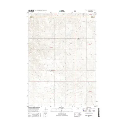
2015 Map of Philip Junction
USGS Topo · Published 2015About this map
Philip Junction stands as a focal point in this 2015 survey of the South Dakota prairie, marking a significant intersection where CR 19 meets several local routes. The landscape is defined by the open expanses of the Buffalo Gap National Grassland, which covers a large portion of the southern and central sections of the quadrangle. This area is characterized by a network of seasonal drainages including Kerrington Draw, Dugout Draw, and Yellow Draw, which carve subtle topography into the high plains. The transition between Haakon and Jackson Counties is clearly delineated along the northern border, illustrating the administrative boundaries that shape this ranching country. Local infrastructure like 239th St and CR 17 provides the primary access through this sparsely populated but geographically distinct region, where watercourses like Brady Cr dictate the movement of both nature and transport.
Find a feature on this map
18 named features on this map. Tap any name to fly to it.
Don’t see what you’re looking for? This feature index may not catch every label — zoom into the map to look around manually.
Map Details
Editions of this 2015 Philip Junction Map
This is the sole edition of this map. No revisions or reprints were ever made.
Other maps of this area

1950 · Weta
USGS Topo · 1:24,000

1951 · Kadoka
USGS Topo · 1:24,000

1953 · Philip Junction
USGS Topo · 1:24,000

1953 · Philip
USGS Topo · 1:24,000

1953 · Philip SE
USGS Topo · 1:24,000

1954 · Kadoka NE
USGS Topo · 1:24,000

1954 · Pierre
USGS Topo · 1:250,000

1955 · Martin
USGS Topo · 1:250,000

1958 · Pierre
USGS Topo · 1:250,000

1958 · Martin
USGS Topo · 1:250,000