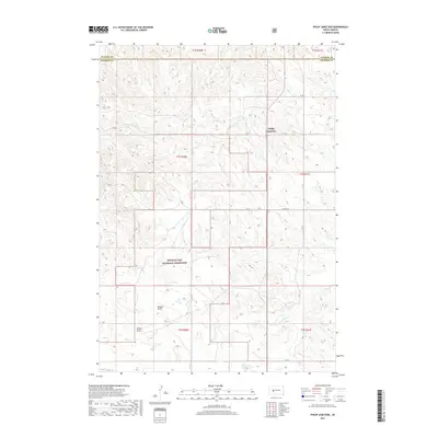
2017 Map of Philip Junction
USGS Topo · Published 2017About this map
Buffalo Gap National Grassland dominates the southern reaches of this landscape, representing a significant portion of the preserved prairie environment in western South Dakota. The topography is defined by intricate drainage patterns such as Dugout Draw and Yellow Draw, which channel seasonal runoff through the undulating terrain toward Brady Cr. These natural features illustrate the erosional character of the region's sedimentary layers, a hallmark of the Great Plains geography.
Find a feature on this map
20 named features on this map. Tap any name to fly to it.
Don’t see what you’re looking for? This feature index may not catch every label — zoom into the map to look around manually.
Map Details
Editions of this 2017 Philip Junction Map
This is the sole edition of this map. No revisions or reprints were ever made.
Other maps of this area

1950 · Weta
USGS Topo · 1:24,000

1951 · Kadoka
USGS Topo · 1:24,000

1953 · Philip Junction
USGS Topo · 1:24,000

1953 · Philip
USGS Topo · 1:24,000

1953 · Philip SE
USGS Topo · 1:24,000

1954 · Kadoka NE
USGS Topo · 1:24,000

1954 · Pierre
USGS Topo · 1:250,000

1955 · Martin
USGS Topo · 1:250,000

1958 · Pierre
USGS Topo · 1:250,000

1958 · Martin
USGS Topo · 1:250,000