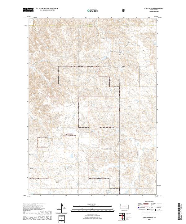
2021 Map of Philip Junction
USGS Topo · Published 2021About this map
Philip Junction stands as a focal point at the intersection of rural routes and the county line between Haakon and Jackson counties. This 2021 survey illustrates a sprawling landscape dominated by the southern reaches of the Buffalo Gap National Grassland. The terrain is defined by a network of drainage systems, including the intermittent flow of Brady Cr and the etched paths of Yellow Draw and Dugout Draw. The map documents the persistent township and range grid system, with roads such as Co Rd Ch 5 and various county-designated routes like CS 18 and CS 26 providing access to the wide-open high plains. This contemporary study is particularly useful for understanding modern land management and boundaries within the grassland and surrounding private ranching lands.
Find a feature on this map
22 named features on this map. Tap any name to fly to it.
Don’t see what you’re looking for? This feature index may not catch every label — zoom into the map to look around manually.
Map Details
Editions of this 2021 Philip Junction Map
This is the sole edition of this map. No revisions or reprints were ever made.
Other maps of this area

1950 · Weta
USGS Topo · 1:24,000

1951 · Kadoka
USGS Topo · 1:24,000

1953 · Philip Junction
USGS Topo · 1:24,000

1953 · Philip
USGS Topo · 1:24,000

1953 · Philip SE
USGS Topo · 1:24,000

1954 · Kadoka NE
USGS Topo · 1:24,000

1954 · Pierre
USGS Topo · 1:250,000

1955 · Martin
USGS Topo · 1:250,000

1958 · Pierre
USGS Topo · 1:250,000

1958 · Martin
USGS Topo · 1:250,000