Loading...
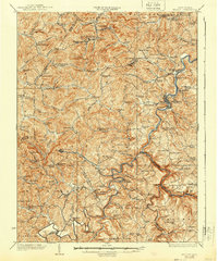
Loading map...1928 Map of Philippi
USGS Topo · Published 1940About this map
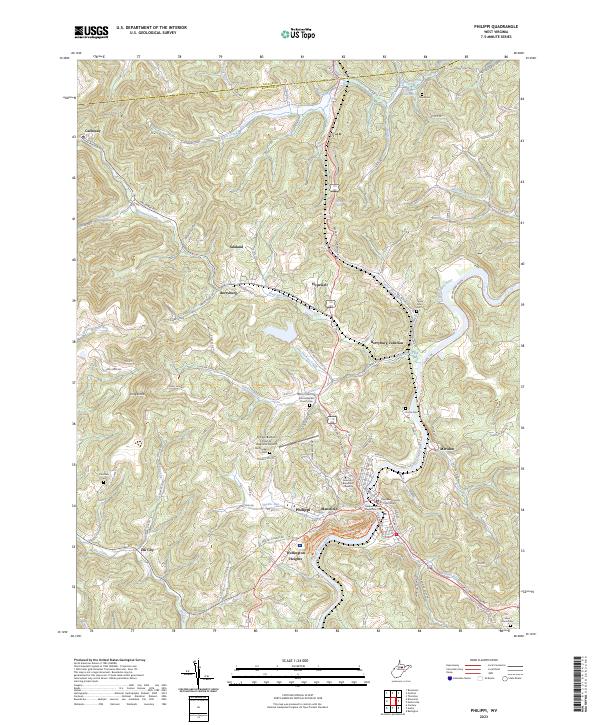
Philippi serves as the focal point of this survey, situated along the winding banks of the Tygart River where the Baltimore and Ohio RR and Electric rail lines converge. The landscape is defined by the steep relief of Bear Mountain and a dense network of mountain streams like Brushy Fork and Hackers Creek. This era reveals a rural society structured around coal and rail, evidenced by junctions and post offices such as Brownton PO, Tygart Junc, and Boulder Rangoon PO.
Find a feature on this map
137 named features on this map. Tap any name to fly to it.
Don’t see what you’re looking for? This feature index may not catch every label — zoom into the map to look around manually.
Map Details
Date Portrayed1928
Date Published1940
PublisherU.S. Geological Survey
Map TypeTopographic
Scale1:62,500
Physical Dimensions16.5 x 19.8 inches
Editions of this 1928 Philippi Map
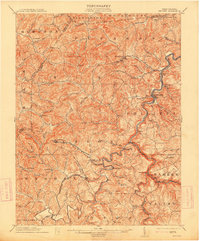
2 editions found
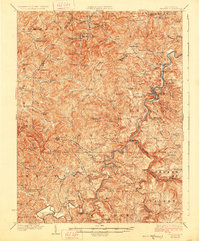
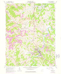
Historical Maps of Buckhannon Through Time
5 maps found

Featured Locations
Source Details
SourceU.S. Geological Survey
CopyrightPublic Domain