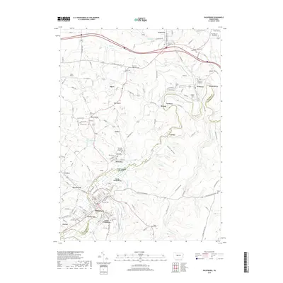
2019 Map of Philipsburg
USGS Topo · Published 2019About this map
Philipsburg serves as the focal point of this 2019 survey, situated at the confluence of Cold Stream and Moshannon Creek. The map documents a dense network of coal-country settlements along the border of Centre and Clearfield counties, including Kylertown, Winburne, and Morrisdale. This region is particularly rich in genealogical data, preserving the locations of numerous denominational burial grounds such as Kylertown Presbyterian Cem, Saint Peter and Paul Catholic Church Cem, and the Unknown Catholic Cem near Munson.
Find a feature on this map
71 named features on this map. Tap any name to fly to it.
Don’t see what you’re looking for? This feature index may not catch every label — zoom into the map to look around manually.
Map Details
Editions of this 2019 Philipsburg Map
This is the sole edition of this map. No revisions or reprints were ever made.
Other maps of this area

1903 · Houtzdale
USGS Topo · 1:62,500

1905 · Houtzdale
USGS Topo · 1:62,500

1922 · Philipsburg
USGS Topo · 1:62,500

1929 · Karthaus
USGS Topo · 1:62,500

1929 · Clearfield
USGS Topo · 1:48,000

1932 · Clearfield
USGS Topo · 1:62,500

1932 · Karthaus
USGS Topo · 1:62,500

1939 · Philipsburg
USGS Topo · 1:62,500

1944 · Houtzdale
USGS Topo · 1:24,000

1945 · Philipsburg
USGS Topo · 1:62,500