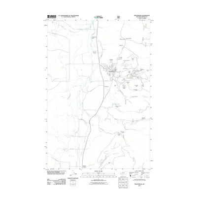
2011 Map of Philipsburg
USGS Topo · Published 2011About this map
Philipsburg serves as the focal point of this Granite County landscape, situated along the eastern edge of the Philipsburg Valley. The town's grid is dense with civic identifiers like the Philipsburg Post Office and Philipsburg Vol Fire Company, while the Philipsburg Cemetery overlooks the valley from a nearby rise. The geography is defined by a dense concentration of mineral claims and workings on the slopes of Hope Hill and Duffy Hill, indicating a significant history of silver and manganese extraction.
Find a feature on this map
72 named features on this map. Tap any name to fly to it.
Don’t see what you’re looking for? This feature index may not catch every label — zoom into the map to look around manually.
Map Details
Editions of this 2011 Philipsburg Map
This is the sole edition of this map. No revisions or reprints were ever made.
Other maps of this area

1908 · Philipsburg
USGS Topo · 1:125,000

1947 · Butte
USGS Topo · 1:250,000

1958 · Butte
USGS Topo · 1:250,000

1960 · Butte
USGS Topo · 1:250,000

1962 · Butte
USGS Topo · 1:250,000

1971 · Henderson Mountain
USGS Topo · 1:24,000

1971 · Georgetown Lake
USGS Topo · 1:24,000
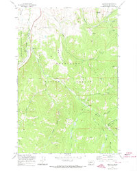
1971 · Maxville
USGS Topo · 1:24,000

1971 · Antelope Creek
USGS Topo · 1:24,000

1971 · Potato Lakes
USGS Topo · 1:24,000