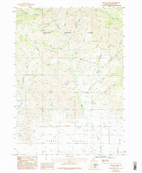
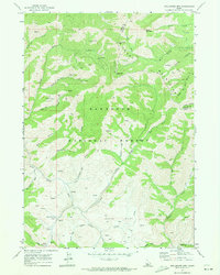
1986 Map of Phillips Creek
USGS Topo · Published 1996About this map
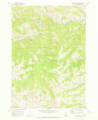
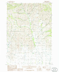
Soldier Mountains and the northern reaches of the Camas Prairie define this portion of Idaho as it was documented in the early 1980s. The landscape is characterized by a dense network of drainage systems, including Soldier Creek, Wardrop Creek, and the South Fork Phillips Creek, which flow from the higher elevations of the Sawtooth National Forest. This era shows a transition from the high ridges like Elk Ridge down to the flatter agricultural and grazing lands of the prairie floor.
Find a feature on this map
26 named features on this map. Tap any name to fly to it.
Don’t see what you’re looking for? This feature index may not catch every label — zoom into the map to look around manually.
Map Details
Editions of this 1986 Phillips Creek Map
2 editions found
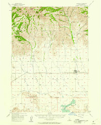
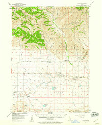
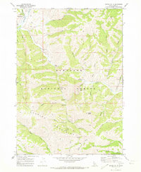
Other maps of this area

1900 · Sawtooth
USGS Topo · 1:125,000

1955 · Hailey
USGS Topo · 1:250,000
1957 · Fairfield
USGS Topo · 1:62,500
1957 · Blaine
USGS Topo · 1:62,500

1959 · Hailey
USGS Topo · 1:250,000

1962 · Hailey
USGS Topo · 1:250,000
1970 · Sydney Butte
USGS Topo · 1:24,000
1970 · Dollarhide Mtn
USGS Topo · 1:24,000
1970 · Boardman Creek
USGS Topo · 1:24,000
1986 · Phillips
USGS Topo · 1:24,000