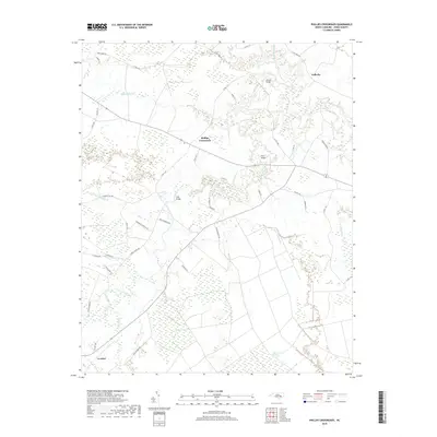
2019 Map of Phillips Crossroads
USGS Topo · Published 2019About this map
Phillips Crossroads serves as a central point in this rural Jones County landscape, where the Trent River and its numerous tributaries create a complex network of waterways and wetlands. The geography is defined by significant drainage features such as Beaver Cr, Cypress Cr, and the extensive White Oak Pocosin to the south. Transportation across these wetlands is facilitated by notable crossings including Wilcox Bridge, Perry Bridge, and Free Bridge, which connect dispersed settlements like Pollocks and Comfort.
Find a feature on this map
48 named features on this map. Tap any name to fly to it.
Don’t see what you’re looking for? This feature index may not catch every label — zoom into the map to look around manually.
Map Details
Editions of this 2019 Phillips Crossroads Map
This is the sole edition of this map. No revisions or reprints were ever made.
Other maps of this area

1903 · Trent River
USGS Topo · 1:62,500

1904 · Trent River
USGS Topo · 1:62,500

1943 · Jacksonville
USGS Topo · 1:62,500

1948 · Richlands
USGS Topo · 1:62,500

1953 · Rocky Mount
USGS Topo · 1:250,000

1953 · Beaufort
USGS Topo · 1:250,000

1954 · Rocky Mount
USGS Topo · 1:250,000

1954 · Beaufort
USGS Topo · 1:250,000

1958 · Deep Run
USGS Topo · 1:62,500

1965 · Richlands
USGS Topo · 1:62,500