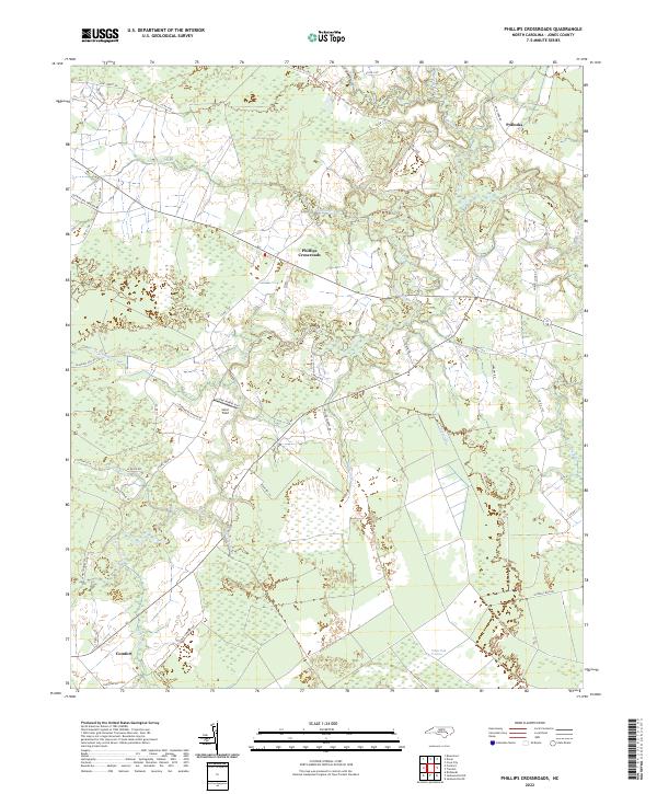
2022 Map of Phillips Crossroads
USGS Topo · Published 2022About this map
Phillips Crossroads anchors this agricultural and wetland landscape in Jones County, where the Trent River meanders through a low-lying region defined by its numerous branches and creeks. The coastal plain topography is most distinct in the south, where the expansive White Oak Pocosin dominates the terrain, illustrating the unique swampy shrub-land ecosystems characteristic of eastern North Carolina. Small rural clusters like Comfort and Pollocks are connected by a network of local roads such as Old Kinston-Trenton Rd and Stones Chapel Rd, reflecting a settlement pattern tied to long-standing family landholdings and crossroads commerce. Aviation interest is noted at Suter Field, while the hydrology is remarkably dense, featuring named watercourses like Chinquapin Br, Deep Bottom Br, and Beaver Cr that feed into the primary river system.
Find a feature on this map
49 named features on this map. Tap any name to fly to it.
Don’t see what you’re looking for? This feature index may not catch every label — zoom into the map to look around manually.
Map Details
Editions of this 2022 Phillips Crossroads Map
This is the sole edition of this map. No revisions or reprints were ever made.
Other maps of this area

1903 · Trent River
USGS Topo · 1:62,500

1904 · Trent River
USGS Topo · 1:62,500

1943 · Jacksonville
USGS Topo · 1:62,500

1948 · Richlands
USGS Topo · 1:62,500

1953 · Rocky Mount
USGS Topo · 1:250,000

1953 · Beaufort
USGS Topo · 1:250,000

1954 · Rocky Mount
USGS Topo · 1:250,000

1954 · Beaufort
USGS Topo · 1:250,000

1958 · Deep Run
USGS Topo · 1:62,500

1965 · Richlands
USGS Topo · 1:62,500