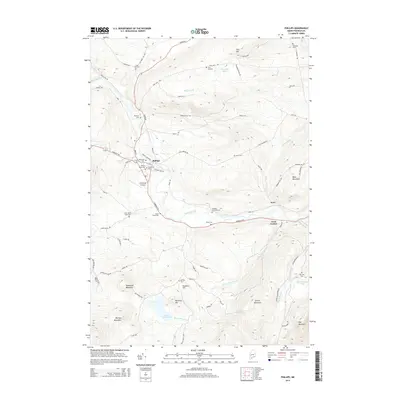
2014 Map of Phillips
USGS Topo · Published 2014About this map
Sandy River flows through the heart of Franklin County, framing the village of Phillips and the smaller settlements of Avon and Avon Corner. The landscape is defined by its significant relief, rising from the river valley to the heights of Phillips Mountain, Spruce Mountain, and Tantrattle Mountain. This 2014 survey documents a region where local geography is intimately tied to family history, evidenced by a high density of small cemeteries like the Knott Burial Plot, Pease Cem, and Whitney Cem that dot the hillsides and road junctions.
Find a feature on this map
82 named features on this map. Tap any name to fly to it.
Don’t see what you’re looking for? This feature index may not catch every label — zoom into the map to look around manually.
Map Details
Editions of this 2014 Phillips Map
This is the sole edition of this map. No revisions or reprints were ever made.
Other maps of this area

1924 · Farmington
USGS Topo · 1:62,500

1926 · Dixfield
USGS Topo · 1:62,500

1929 · Phillips
USGS Topo · 1:48,000

1929 · Dixfield
USGS Topo · 1:62,500

1930 · Kingfield
USGS Topo · 1:48,000

1932 · Phillips
USGS Topo · 1:62,500

1932 · Kingfield
USGS Topo · 1:62,500

1950 · Lewiston
USGS Topo · 1:250,000

1956 · Dixfield
USGS Topo · 1:48,000

1956 · Farmington
USGS Topo · 1:62,500