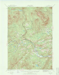
1929 Map of Phillips
USGS Topo · Published 1965About this map
The Sandy River and Rangeley Lakes RR follows the winding course of the Sandy River in this 1929 survey of Franklin County. This narrow-gauge rail network connects the village of Phillips to outlying points like Perham Junction and Barnjum, illustrating a period when regional transit was deeply tied to the river valleys. The landscape is dotted with a high density of rural schoolhouses, including East Madrid Sch, Toothaker Pond Sch, and Mile Square Sch, serving scattered settlements in townships like Madrid and Salem.
Find a feature on this map
81 named features on this map. Tap any name to fly to it.
Don’t see what you’re looking for? This feature index may not catch every label — zoom into the map to look around manually.
Map Details
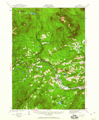
Editions of this 1929 Phillips Map
3 editions found
Other maps of this area

1924 · Farmington
USGS Topo · 1:62,500

1926 · Dixfield
USGS Topo · 1:62,500

1927 · Rumford
USGS Topo · 1:48,000

1928 · Dead River
USGS Topo · 1:62,500

1928 · Stratton
USGS Topo · 1:48,000

1929 · Phillips
USGS Topo · 1:48,000

1929 · Dixfield
USGS Topo · 1:62,500

1930 · Rumford
USGS Topo · 1:62,500

1930 · Kingfield
USGS Topo · 1:48,000

1931 · Dead River
USGS Topo · 1:48,000