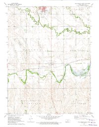
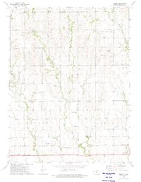
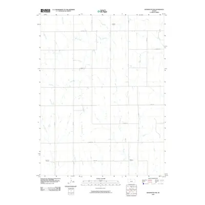
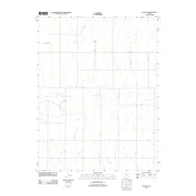
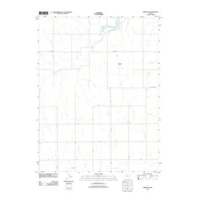
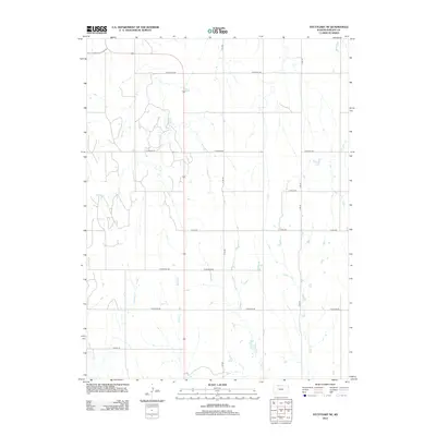
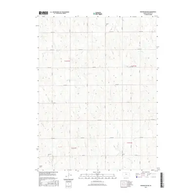
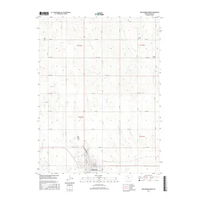
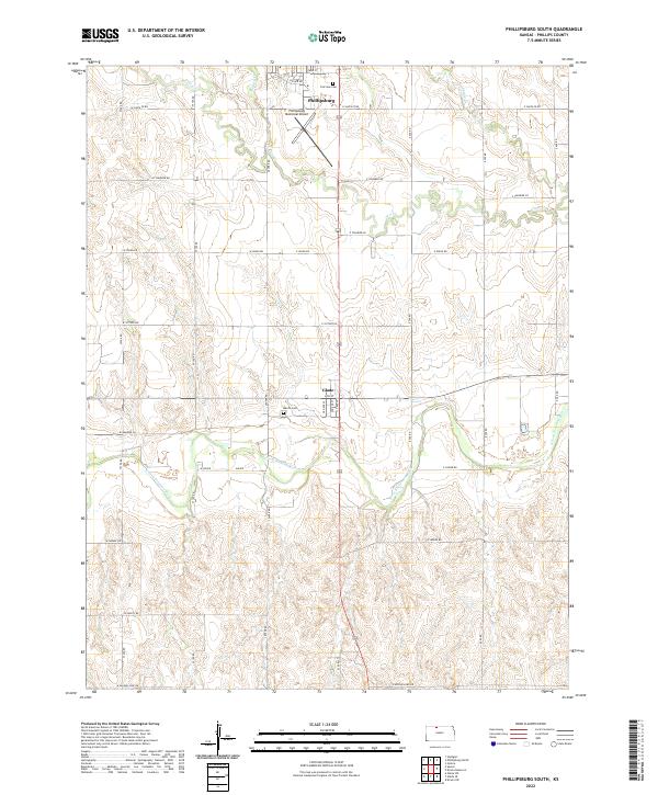
1972 Map of Phillipsburg South
USGS Topo · Published 1974About this map
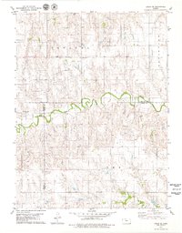
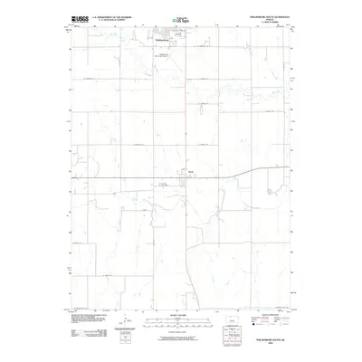
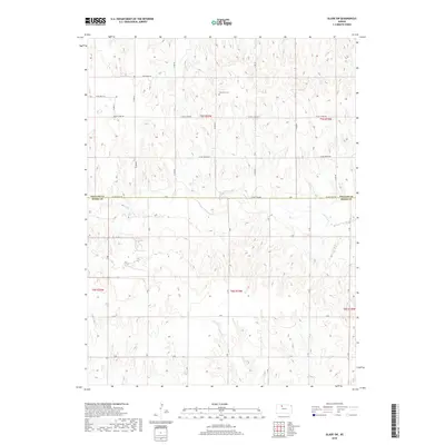
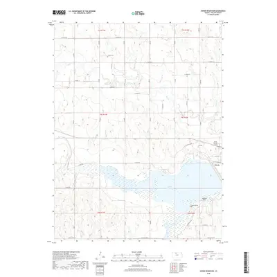
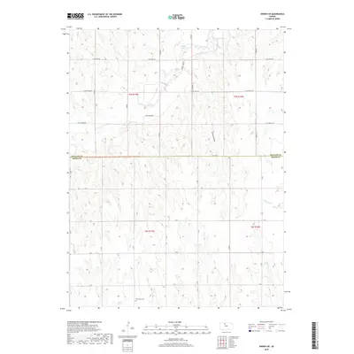
Phillipsburg anchors the northern edge of this survey, where the local High Sch, Phillipsburg Municipal Airport, and a Drive-in Theater reflect the mid-century growth of the Phillips County seat. To the south, the village of Glade sits at a critical junction where the Missouri Pacific railroad meets the North Fork Solomon River. The hydrology of the region is defined by the extensive Kirwin Reservoir and the adjacent Kirwin National Wildlife Refuge, which dominate the eastern landscape. For genealogists and local historians, the map preserves the locations of Fairview Cemetery and Marvin Cem, alongside industrial markers like an Oil Field and various sandpits. The presence of an Old RR Grade running parallel to the active rail line suggests a landscape in transition, where older transportation corridors were being replaced or redirected by the early 1970s.
Find a feature on this map
28 named features on this map. Tap any name to fly to it.
Don’t see what you’re looking for? This feature index may not catch every label — zoom into the map to look around manually.
Map Details
Editions of this 1972 Phillipsburg South Map
This is the sole edition of this map. No revisions or reprints were ever made.
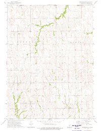
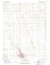
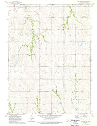
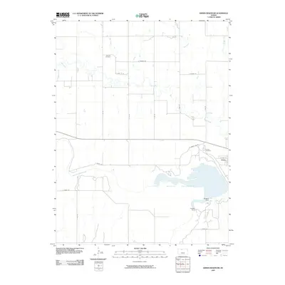
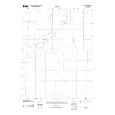
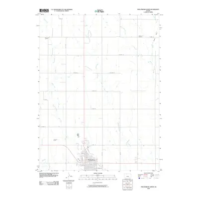
Historical Maps of Phillipsburg Through Time
60 maps found

1961 Kirwin SW
Phillips County, KS
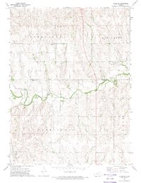
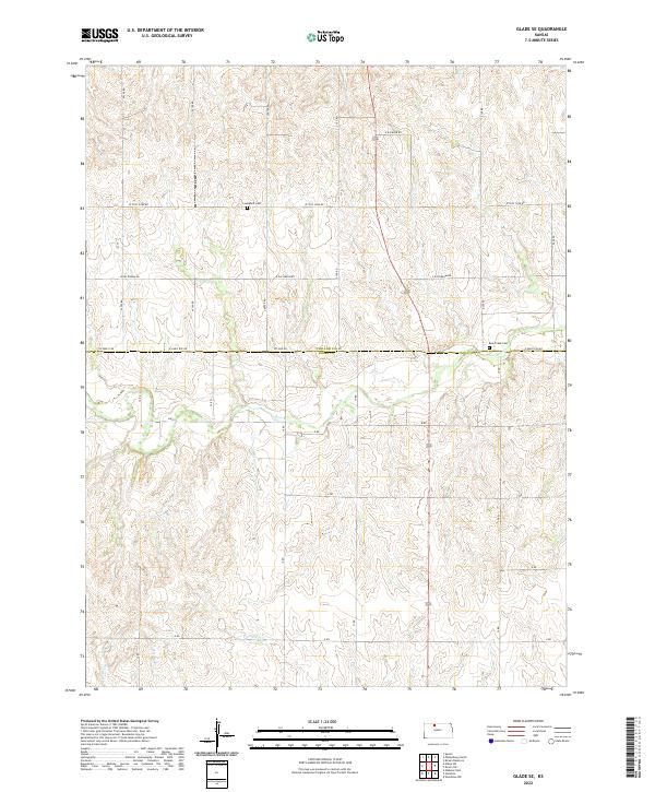
1972 Glade SE
Phillips County, KS
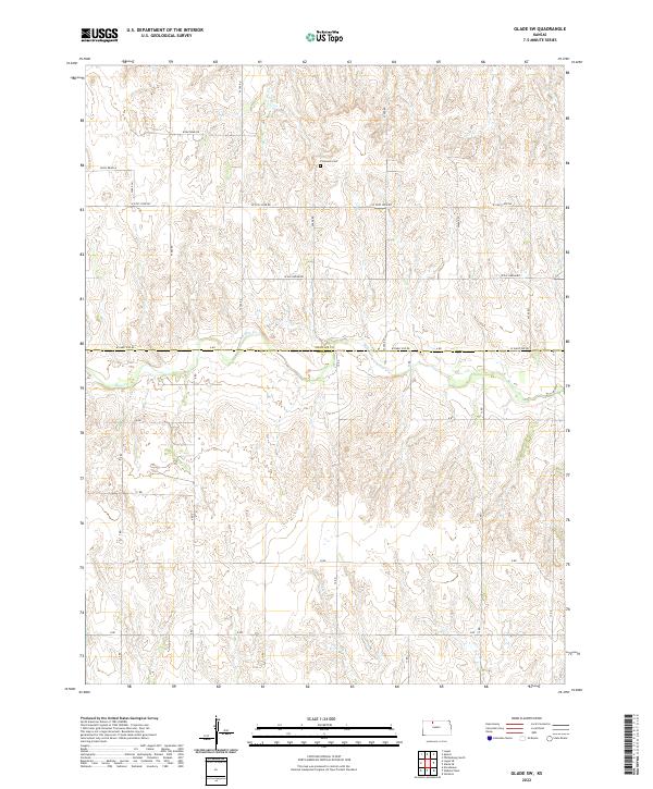
1972 Glade SW
Phillips County, KS
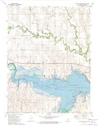
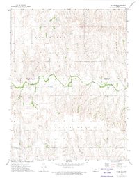
1972 Kirwin Reservoir
Phillips County, KS
1972 Phillipsburg South
Phillips County, KS
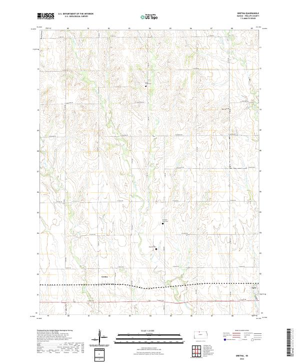
1973 Gretna
Phillips County, KS
1973 Kensington NW
Phillips County, KS
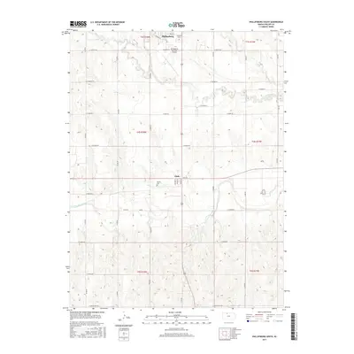
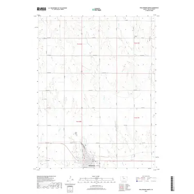
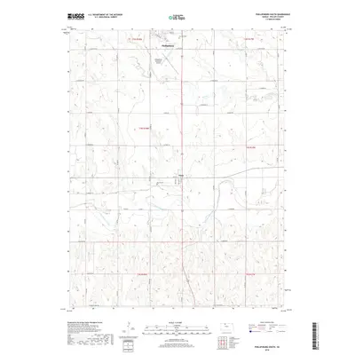
1973 Phillipsburg North
Phillips County, KS
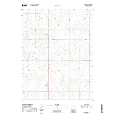
1973 Stuttgart NE
Phillips County, KS
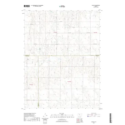
1979 Logan SE
Phillips County, KS
2009 Glade SE
Phillips County, KS
2009 Glade SW
Phillips County, KS
2009 Gretna
Phillips County, KS
2009 Kensington NW
Phillips County, KS
2009 Kirwin Reservoir
Phillips County, KS
2009 Logan SE
Phillips County, KS
2009 Phillipsburg North
Phillips County, KS
2009 Phillipsburg South
Phillips County, KS
2009 Stuttgart NE
Phillips County, KS
2010 Kirwin SW
Phillips County, KS
2012 Glade SE
Phillips County, KS
2012 Glade SW
Phillips County, KS
2012 Gretna
Phillips County, KS
2012 Kensington NW
Phillips County, KS
2012 Kirwin Reservoir
Phillips County, KS
2012 Kirwin SW
Phillips County, KS
2012 Logan SE
Phillips County, KS
2012 Phillipsburg North
Phillips County, KS
2012 Phillipsburg South
Phillips County, KS
2012 Stuttgart NE
Phillips County, KS
2015 Glade SE
Phillips County, KS
2015 Glade SW
Phillips County, KS
2015 Gretna
Phillips County, KS
2015 Kensington NW
Phillips County, KS
2015 Kirwin Reservoir
Phillips County, KS
2015 Kirwin SW
Phillips County, KS
2015 Logan SE
Phillips County, KS
2015 Phillipsburg North
Phillips County, KS
2015 Phillipsburg South
Phillips County, KS
2015 Stuttgart NE
Phillips County, KS
2018 Glade SE
Phillips County, KS
2018 Glade SW
Phillips County, KS
2018 Gretna
Phillips County, KS
2018 Kensington NW
Phillips County, KS
2018 Kirwin Reservoir
Phillips County, KS
2018 Kirwin SW
Phillips County, KS
2018 Logan SE
Phillips County, KS
2018 Phillipsburg North
Phillips County, KS
2018 Phillipsburg South
Phillips County, KS
2018 Stuttgart NE
Phillips County, KS
2022 Glade SE
Phillips County, KS
2022 Glade SW
Phillips County, KS
2022 Gretna
Phillips County, KS
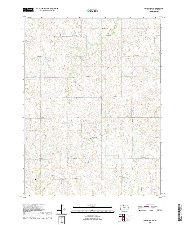
2022 Kensington NW
Phillips County, KS
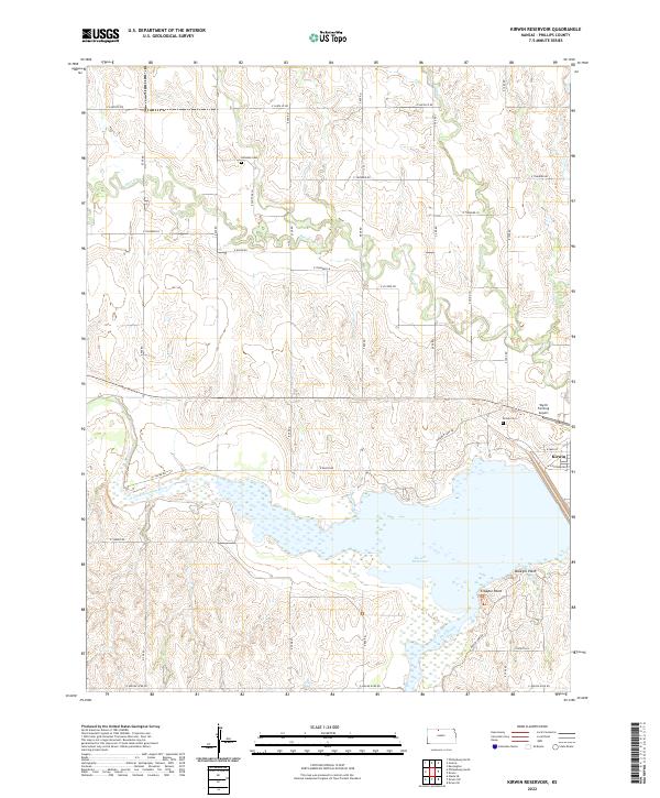
2022 Kirwin Reservoir
Phillips County, KS
2022 Kirwin SW
Phillips County, KS

2022 Logan SE
Phillips County, KS
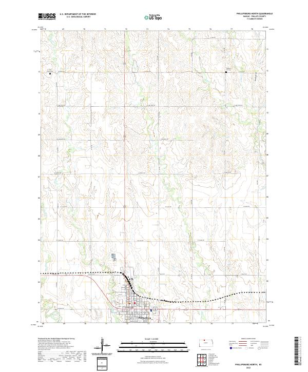
2022 Phillipsburg North
Phillips County, KS
2022 Phillipsburg South
Phillips County, KS
2022 Stuttgart NE
Phillips County, KS