Loading...
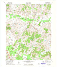
Loading map...1973 Map of Philpot
USGS Topo · Published 1974About this map
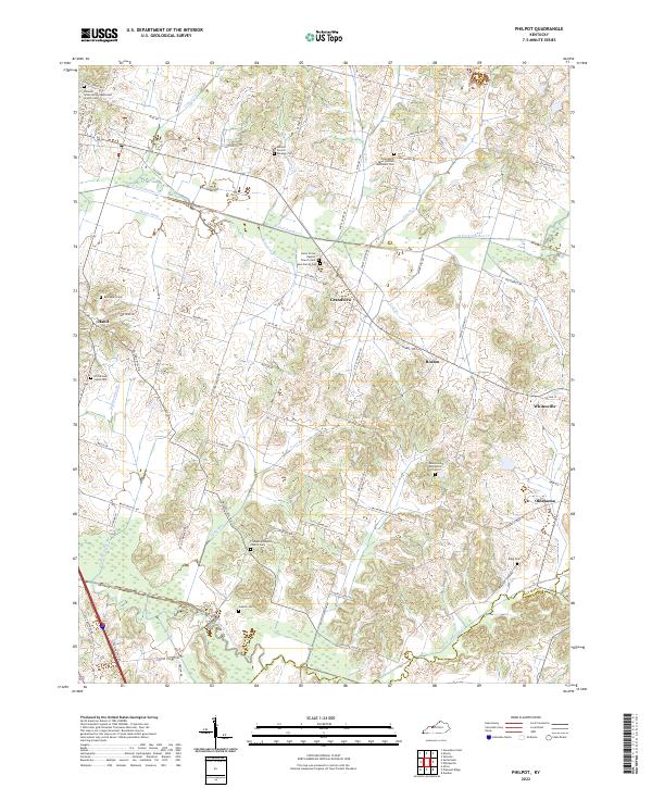
Illinois Central Gulf rail lines cut a sharp east-west path through the Daviess County countryside in the early 1970s, anchoring rural settlements like Philpot and Whitesville. This landscape is defined by its energy infrastructure, notably the Grandview Gas Storage Field and the Hickory Gas Storage Field, alongside numerous oil wells that pepper the drainage basins of North Fork Panther Creek and South Fork Panther Creek.
Find a feature on this map
52 named features on this map. Tap any name to fly to it.
Don’t see what you’re looking for? This feature index may not catch every label — zoom into the map to look around manually.
Map Details
Date Portrayed1973
Date Published1974
PublisherU.S. Geological Survey
Map TypeTopographic
Scale1:24,000
Physical Dimensions23.1 x 27.5 inches
Editions of this 1973 Philpot Map
This is the sole edition of this map. No revisions or reprints were ever made.
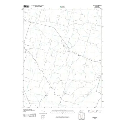
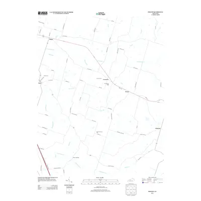
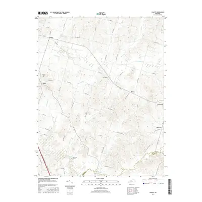
Historical Maps of Whitesville Through Time
7 maps found

Featured Locations
Source Details
SourceU.S. Geological Survey
CopyrightPublic Domain