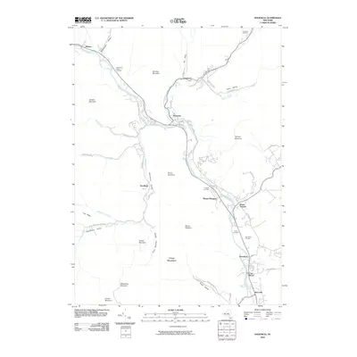
2010 Map of Phoenicia
USGS Topo · Published 2010About this map
Esopus Creek flows through the heart of this valley, serving as the central artery for a series of mountain settlements including Phoenicia, Chichester, and Mount Pleasant. The terrain is defined by significant elevations such as Tremper Mountain, Romer Mountain, and Wittenberg Mountain, which constrain the human footprint to the narrow valleys of Woodland Creek and Stony Clove Creek. This 2010 survey illustrates the persistence of small mountain hamlets and the importance of transportation corridors like Plank Rd and Woodland Valley Rd in navigating the steep gaps of the Catskills.
Find a feature on this map
57 named features on this map. Tap any name to fly to it.
Don’t see what you’re looking for? This feature index may not catch every label — zoom into the map to look around manually.
Map Details
Editions of this 2010 Phoenicia Map
This is the sole edition of this map. No revisions or reprints were ever made.
Other maps of this area

1892 · Kaaterskill
USGS Topo · 1:62,500

1893 · Kaaterskill
USGS Topo · 1:62,500

1894 · Kaaterskill
USGS Topo · 1:62,500

1899 · Kaaterskill
USGS Topo · 1:62,500

1900 · Phoenicia
USGS Topo · 1:62,500

1901 · Rosendale
USGS Topo · 1:62,500

1903 · Rosendale
USGS Topo · 1:62,500

1903 · Phoenicia
USGS Topo · 1:62,500

1903 · Kaaterskill
USGS Topo · 1:62,500

1903 · Slide Mountain
USGS Topo · 1:62,500