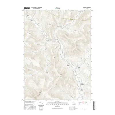
2016 Map of Phoenicia
USGS Topo · Published 2016About this map
Phoenicia sits at the confluence of Esopus Creek and Stony Clove Creek, serving as a central hub in this high-elevation landscape of the Catskills. The topography is defined by significant peaks such as Tremper Mtn, Sheridan Mtn, and the Burroughs Range, including Wittenberg Mtn and Cornell Mtn. This 2016 survey documents the enduring mountain hamlets and their associated family burial grounds, such as the Van Kleeck Cem and Hudler Cem near Mount Tremper.
Find a feature on this map
71 named features on this map. Tap any name to fly to it.
Don’t see what you’re looking for? This feature index may not catch every label — zoom into the map to look around manually.
Map Details
Editions of this 2016 Phoenicia Map
This is the sole edition of this map. No revisions or reprints were ever made.
Other maps of this area

1892 · Kaaterskill
USGS Topo · 1:62,500

1893 · Kaaterskill
USGS Topo · 1:62,500

1894 · Kaaterskill
USGS Topo · 1:62,500

1899 · Kaaterskill
USGS Topo · 1:62,500

1900 · Phoenicia
USGS Topo · 1:62,500

1901 · Rosendale
USGS Topo · 1:62,500

1903 · Rosendale
USGS Topo · 1:62,500

1903 · Phoenicia
USGS Topo · 1:62,500

1903 · Kaaterskill
USGS Topo · 1:62,500

1903 · Slide Mountain
USGS Topo · 1:62,500