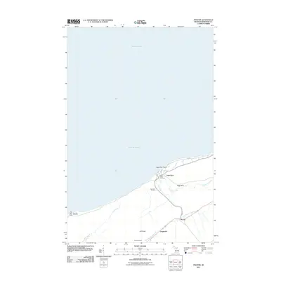
2011 Map of Phoenix
USGS Topo · Published 2011About this map
Lake Superior defines the northern edge of this Keweenaw Peninsula survey, where the rocky coastline meets the legendary Eagle River Shoals. The settlement of Eagle River serves as a focal point, situated where the Eagle River flows into the lake over the Eagle River Falls. Inland, the terrain rises toward the Cliff Range, a prominent ridge that overlooks the smaller communities of Vaughsville and Phoenix.
Find a feature on this map
21 named features on this map. Tap any name to fly to it.
Don’t see what you’re looking for? This feature index may not catch every label — zoom into the map to look around manually.
Map Details
Editions of this 2011 Phoenix Map
This is the sole edition of this map. No revisions or reprints were ever made.
Other maps of this area
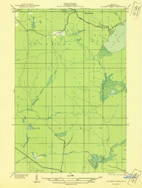
1938 · Bruneau Creek
USGS Topo · 1:31,680
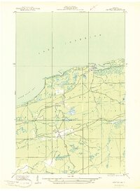
1940 · Central
USGS Topo · 1:31,680
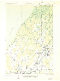
1941 · Ahmeek
USGS Topo · 1:31,680
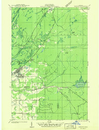
1941 · Mohawk
USGS Topo · 1:31,680
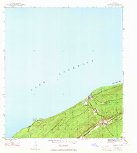
1946 · Phoenix
USGS Topo · 1:24,000
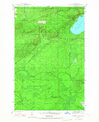
1946 · Bruneau Creek
USGS Topo · 1:24,000
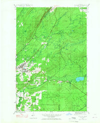
1946 · Mohawk
USGS Topo · 1:24,000
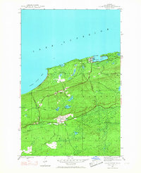
1946 · Eagle Harbor
USGS Topo · 1:24,000
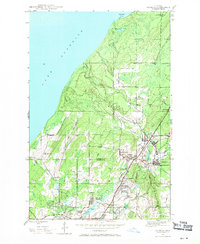
1946 · Ahmeek
USGS Topo · 1:24,000
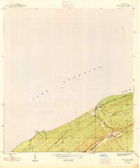
1947 · Phoenix
USGS Topo · 1:24,000