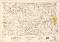
1957 Map of Phoenix
USGS Topo · Published 1957About this map
The Salt River Valley and surrounding mountain ranges in the mid-1950s showcase a region in transition, balancing established agriculture with rapid suburban expansion and military utility. Modern development is anchored by Phoenix, Glendale, and Peoria, while the surrounding desert remains dominated by massive topographic features like the Harquahala Mountains and the White Tank Mountains. The military's footprint is extensive, marked by Luke Air Force Base and its network of auxiliary fields, alongside the Litchfield Park Naval Air Station.
Find a feature on this map
166 named features on this map. Tap any name to fly to it.
Don’t see what you’re looking for? This feature index may not catch every label — zoom into the map to look around manually.
Map Details
Editions of this 1957 Phoenix Map
This is the sole edition of this map. No revisions or reprints were ever made.
Other maps of this area

1887 · Verde
USGS Topo · 1:250,000

1887 · Prescott
USGS Topo · 1:250,000

1892 · Verde
USGS Topo · 1:250,000
1892 · Prescott
USGS Topo · 1:250,000
1903 · Bradshaw Mountains
USGS Topo · 1:125,000
1903 · Congress
USGS Topo · 1:125,000
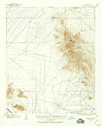
1904 · Camelback
USGS Topo · 1:62,500
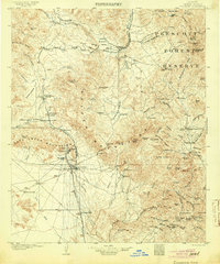
1904 · Congress
USGS Topo · 1:125,000
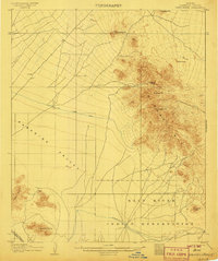
1906 · Camelsback
USGS Topo · 1:62,500
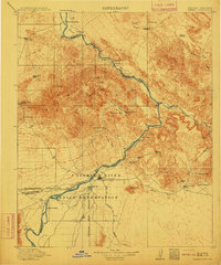
1911 · Parker
USGS Topo · 1:125,000