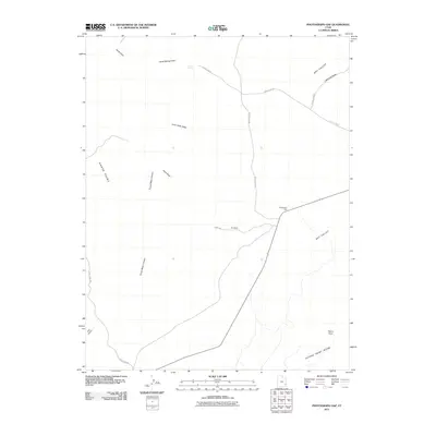
2011 Map of Photograph Gap
USGS Topo · Published 2011About this map
Photograph Gap serves as a focal point in this high-desert landscape, where the convergence of several unpaved routes like Seeps Rd and North Flats Rd underscores the area's importance for local transit. The terrain is defined by a series of deep drainage features, notably Harts Draw and Turner Water Canyon, which carve through the high plateaus of Harts Point and Peters Point. This map illustrates the vital role of scarce water sources in San Juan County, marked by the presence of Harts Spring and the aptly named The Seeps. The network of roads, including Sugar Loaf Rd and Sugar Seed Rd, suggests a landscape managed for ranching or resource access, connecting the broad expanses of Dry Valley to the surrounding ridges.
Find a feature on this map
18 named features on this map. Tap any name to fly to it.
Don’t see what you’re looking for? This feature index may not catch every label — zoom into the map to look around manually.
Map Details
Editions of this 2011 Photograph Gap Map
This is the sole edition of this map. No revisions or reprints were ever made.
Other maps of this area

1885 · La Sal
USGS Topo · 1:250,000

1886 · Abajo
USGS Topo · 1:250,000

1892 · Abajo
USGS Topo · 1:250,000

1893 · Abajo
USGS Topo · 1:250,000

1935 · Elk Ridge
USGS Topo · 1:96,000

1940 · Elk Ridge
USGS Topo · 1:125,000

1954 · Elk Ridge 1 NE
USGS Topo · 1:24,000

1954 · Mt Peale 3 NW
USGS Topo · 1:24,000

1954 · Mt Peale 3 SW
USGS Topo · 1:24,000

1954 · Mt Peale 3 NE
USGS Topo · 1:24,000