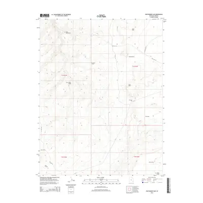
2014 Map of Photograph Gap
USGS Topo · Published 2014About this map
Photograph Gap and the high promontory of Harts Point dominate this high-desert landscape in southeastern Utah, where the terrain is defined by a series of deep canyons and seasonal drainage systems. The presence of Harts Spring provides a rare water source in this arid environment, feeding into Harts Spring Draw as it cuts through the sandstone layers. This 2014 survey documents the rugged cattle-country topography where the Ut-211 and Hart Point Rd provide primary access to the rimlands above the Colorado River basin.
Find a feature on this map
22 named features on this map. Tap any name to fly to it.
Don’t see what you’re looking for? This feature index may not catch every label — zoom into the map to look around manually.
Map Details
Editions of this 2014 Photograph Gap Map
This is the sole edition of this map. No revisions or reprints were ever made.
Other maps of this area

1885 · La Sal
USGS Topo · 1:250,000

1886 · Abajo
USGS Topo · 1:250,000

1892 · Abajo
USGS Topo · 1:250,000

1893 · Abajo
USGS Topo · 1:250,000

1935 · Elk Ridge
USGS Topo · 1:96,000

1940 · Elk Ridge
USGS Topo · 1:125,000

1954 · Elk Ridge 1 NE
USGS Topo · 1:24,000

1954 · Mt Peale 3 NW
USGS Topo · 1:24,000

1954 · Mt Peale 3 SW
USGS Topo · 1:24,000

1954 · Mt Peale 3 NE
USGS Topo · 1:24,000