
1951 Map of Piatt Lake
USGS Topo · Published 1955About this map
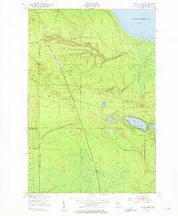
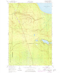
The Marquette National Forest and Whitefish Bay State Forest dominate this Upper Peninsula landscape in the early 1950s. Situated along the shoreline of Tahquamenon Bay, the terrain is defined by a dense network of inland waters and marshy lowlands. The prominent Eckerman Lookout Tower stands as a sentinel over the vast timberlands, connected by the straight transit of the East and West Road. Smaller water bodies like Piatt Lake, Johnson Lake, and Duck Lake are interspersed throughout the forest, while Lake Shore Drive skirts the northern coast. The map illustrates a region dedicated to conservation and forestry, where early infrastructure like the State Forest Boundary lines intersect with natural drainages such as Roxbury Creek and Fourteen Number Creek.
Find a feature on this map
17 named features on this map. Tap any name to fly to it.
Don’t see what you’re looking for? This feature index may not catch every label — zoom into the map to look around manually.
Map Details
Editions of this 1951 Piatt Lake Map
3 editions found
Other maps of this area

1941 · Strongs
USGS Topo · 1:63,360

1951 · Strongs
USGS Topo · 1:24,000

1951 · McNearney Lake
USGS Topo · 1:24,000

1951 · Emerson
USGS Topo · 1:24,000

1951 · Big Beaver Creek
USGS Topo · 1:24,000

1951 · Hulbert
USGS Topo · 1:24,000

1951 · Eckerman
USGS Topo · 1:24,000

1951 · Timberlost
USGS Topo · 1:24,000

1951 · Strongs
USGS Topo · 1:62,500

1951 · Eckerman
USGS Topo · 1:62,500