
1951 Map of Big Beaver Creek
USGS Topo · Published 1955About this map
The Tahquamenon River winds through this 1951 survey of the Michigan Upper Peninsula, a landscape defined by the intersection of three major forests: Mackinac State Forest, Hiawatha National Forest, and Lake Superior State Forest. The map documents a period when the region was primarily utilized for logging and remote recreation, evidenced by isolated outposts such as Cadillac Soo Camp 14 and Alder Camp.
Find a feature on this map
19 named features on this map. Tap any name to fly to it.
Don’t see what you’re looking for? This feature index may not catch every label — zoom into the map to look around manually.
Map Details
Editions of this 1951 Big Beaver Creek Map
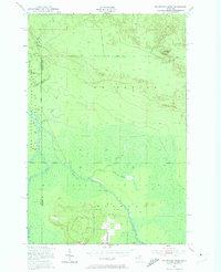
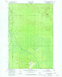
Other maps of this area

1951 · Emerson
USGS Topo · 1:24,000

1951 · Piatt Lake
USGS Topo · 1:24,000

1951 · Hulbert
USGS Topo · 1:24,000

1951 · Eckerman
USGS Topo · 1:24,000

1951 · Timberlost
USGS Topo · 1:24,000

1951 · Eckerman
USGS Topo · 1:62,500

1951 · Shelldrake
USGS Topo · 1:62,500

1954 · Sault Sainte Marie
USGS Topo · 1:250,000

1956 · Sault Sainte Marie
USGS Topo · 1:250,000

1957 · Sault Sainte Marie
USGS Topo · 1:250,000