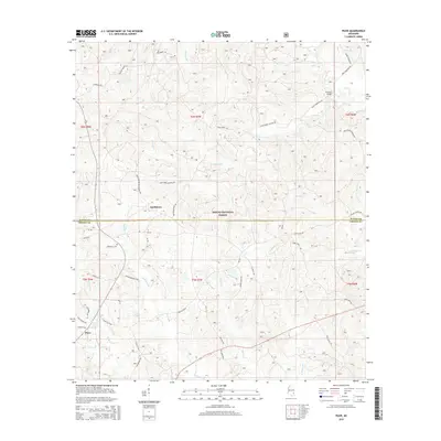
2015 Map of Piave
USGS Topo · Published 2015About this map
The Desoto National Forest dominates this section of the Mississippi piney woods, spanning the boundary between Wayne Co and Greene Co. The map records a landscape defined by small-scale settlements and an extensive network of rural routes, including Piave Plaza Rd and Smithtown Chicora Rd. In the southern reaches, the settlement of Piave is situated near the headwaters of Granny Br and Turkey Fork, while the northern community of Smithtown sits at a crossroads further inland. Local family history is centered around the Henderson Cem and a myriad of namesake roads such as Bill Henderson Loop and Bart Anderson Rd. The drainage pattern is complex, with numerous creeks like Hell Hole Cr and E Mason Cr carving through the forested terrain, reflecting the wet, wooded character of this coastal plain region.
Find a feature on this map
54 named features on this map. Tap any name to fly to it.
Don’t see what you’re looking for? This feature index may not catch every label — zoom into the map to look around manually.
Map Details
Editions of this 2015 Piave Map
This is the sole edition of this map. No revisions or reprints were ever made.
Other maps of this area

1953 · Hattiesburg
USGS Topo · 1:250,000

1958 · Hattiesburg
USGS Topo · 1:250,000

1963 · Brewer
USGS Topo · 1:24,000

1964 · Knobtown
USGS Topo · 1:24,000

1964 · Clark
USGS Topo · 1:24,000

1964 · Clara
USGS Topo · 1:24,000

1964 · Mulberry
USGS Topo · 1:24,000

1964 · Buckatunna
USGS Topo · 1:24,000

1964 · Avera
USGS Topo · 1:24,000

1964 · Piave
USGS Topo · 1:24,000