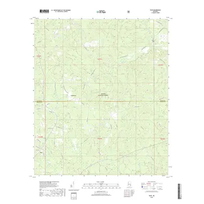
2018 Map of Piave
USGS Topo · Published 2018About this map
Smithtown and Piave serve as the primary focal points of this 2018 survey, which covers a heavily forested landscape along the boundary of Wayne and Greene Counties. The area is defined by the extensive reaches of the De Soto National Forest, where a network of rural roads and timber trails crisscross the terrain. Waterways such as Turkey Fork, Mason Cr, and Big Creek drain the undulating piney woods, with numerous smaller branches like Granny Br and Cary Cr carving through the creek bottoms.
Find a feature on this map
56 named features on this map. Tap any name to fly to it.
Don’t see what you’re looking for? This feature index may not catch every label — zoom into the map to look around manually.
Map Details
Editions of this 2018 Piave Map
This is the sole edition of this map. No revisions or reprints were ever made.
Other maps of this area

1953 · Hattiesburg
USGS Topo · 1:250,000

1958 · Hattiesburg
USGS Topo · 1:250,000

1963 · Brewer
USGS Topo · 1:24,000

1964 · Knobtown
USGS Topo · 1:24,000

1964 · Clark
USGS Topo · 1:24,000

1964 · Clara
USGS Topo · 1:24,000

1964 · Mulberry
USGS Topo · 1:24,000

1964 · Buckatunna
USGS Topo · 1:24,000

1964 · Avera
USGS Topo · 1:24,000

1964 · Piave
USGS Topo · 1:24,000